Image:Saudia Arabia topographic map.jpg
Un article de Wikipédia, l'encyclopédie libre.
Taille de cet aperçu : 790 × 599 pixels
Image en plus haute résolution (933 × 708 pixels, taille du fichier : 280 Kio, type MIME : image/jpeg)
| | Ce fichier provient de Wikimedia Commons?. Les informations le concernant sont affichées ci-dessous (procédure). |
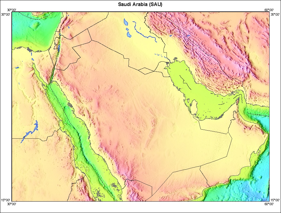
Topography of Saudia Arabia and surrounding countries.
http://walrus.wr.usgs.gov/infobank/gazette/html/regions/sau.html
| This image is in the public domain because it contains materials that originally came from the United States Geological Survey, an agency of the United States Department of Interior. For more information, see the official USGS copyright policy |
|
Historique du fichier
Cliquer sur une date et une heure pour voir le fichier tel qu’il était à ce moment-là
| Date et heure | Dimensions | Utilisateur | Commentaire | |
|---|---|---|---|---|
| actuel | 27 octobre 2005 à 02:10 | 933×708 (280 Kio) | Brian0918 | (Topography of Saudia Arabia and surrounding countries. http://walrus.wr.usgs.gov/infobank/gazette/html/regions/sau.html {{PD-USGov-Interior-USGS}} Category:Maps of Saudi Arabia) |
Pages contenant l’image
La page ci-dessous contient cette image :

