Image:Saudi Arabia map.png
Un article de Wikipédia, l'encyclopédie libre.
Taille de cet aperçu : 612 × 600 pixels
Image en plus haute résolution (1 500 × 1 470 pixels, taille du fichier : 725 Kio, type MIME : image/png)
| | Ce fichier provient de Wikimedia Commons?. Les informations le concernant sont affichées ci-dessous (procédure). |
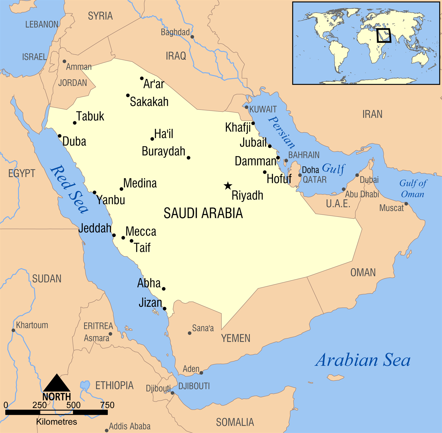
A simple map showing the major cities in Saudi Arabia.
Created by NormanEinstein, February 10, 2006.

Historique du fichier
Cliquer sur une date et une heure pour voir le fichier tel qu’il était à ce moment-là
| Date et heure | Dimensions | Utilisateur | Commentaire | |
|---|---|---|---|---|
| actuel | 10 mars 2006 à 17:47 | 1 500×1 470 (725 Kio) | NormanEinstein | (enlarged text) |
| 8 mars 2006 à 23:36 | 1 200×1 176 (528 Kio) | NormanEinstein | (Fixed typo. Added a city or two.) | |
| 10 février 2006 à 23:28 | 1 200×1 176 (522 Kio) | NormanEinstein | (A simple map showing the major cities in Saudi Arabia. Created by NormanEinstein, February 10, 2006. {{GFDL-self}} Category:Maps of Saudi Arabia) |

