Image:Ph locator map leyte island.png
Un article de Wikipédia, l'encyclopédie libre.
Pas de plus haute résolution disponible.
Ph_locator_map_leyte_island.png (300 × 440 pixels, taille du fichier : 23 Kio, type MIME : image/png)
| | Ce fichier provient de Wikimedia Commons?. Les informations le concernant sont affichées ci-dessous (procédure). |
[edit] Summary
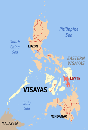
Map of the location of the Island of Leyte
Modified map by Magalhães from the version of seav: Image:Ph locator map leyte.png
[edit] Licensing

Historique du fichier
Cliquer sur une date et une heure pour voir le fichier tel qu’il était à ce moment-là
| Date et heure | Dimensions | Utilisateur | Commentaire | |
|---|---|---|---|---|
| actuel | 18 février 2006 à 16:27 | 300×440 (23 Kio) | Magalhães | (Map of the location of the Island of Leyte Modified map by ~~~ from the version of en:User:Seav: Image:Ph locator map leyte.png Category:Maps of the Philippines ) |
Pages contenant l’image
La page ci-dessous contient cette image :

