Image:Juan fernandez 1927.jpg
Un article de Wikipédia, l'encyclopédie libre.

Taille de cet aperçu : 800 × 290 pixels
Image en plus haute résolution (1 978 × 717 pixels, taille du fichier : 170 Kio, type MIME : image/jpeg)
| | Ce fichier provient de Wikimedia Commons?. Les informations le concernant sont affichées ci-dessous (procédure). |
[edit] Information
| Description |
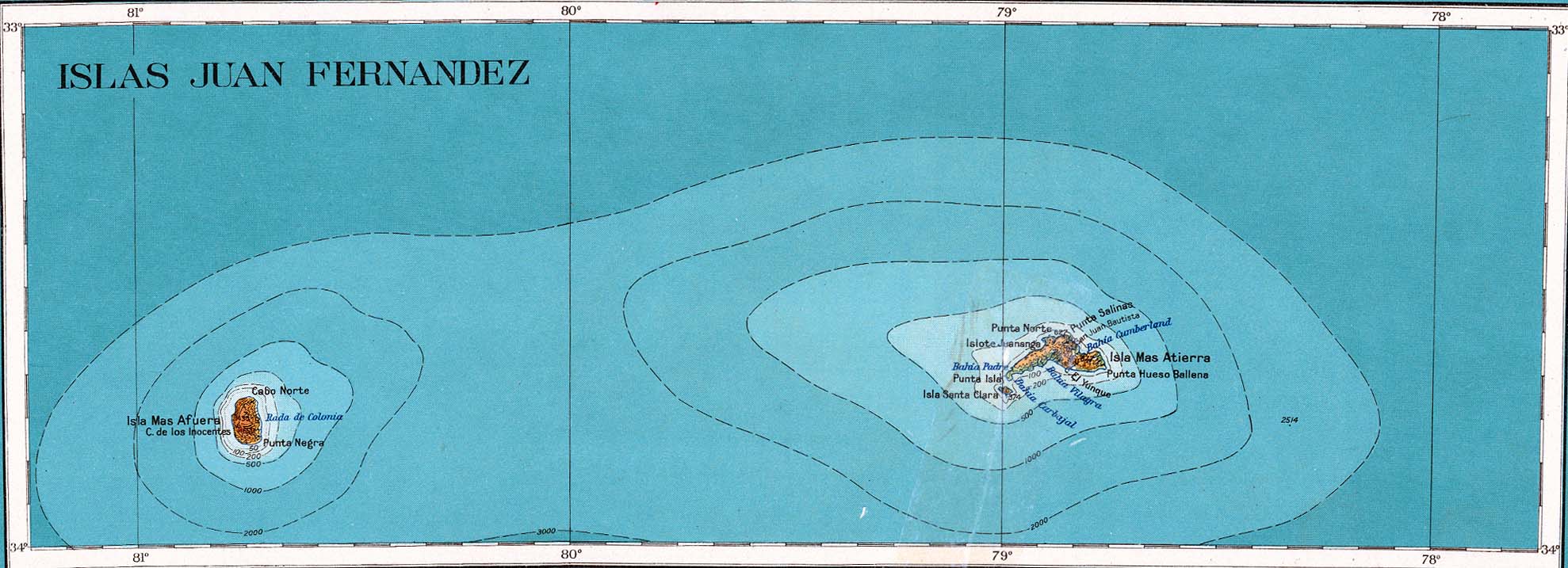
Deutsch: Karte der Juan-Fernández-Inseln im Pazifischen Ozean
English: Map of Juan Fernández Islands in the Pacific Ocean
|
|---|---|
| Source |
http://www.lib.utexas.edu/maps/americas/juan_fernandez_1927.jpg |
| Date |
1927 |
| Author |
American Geographical Society |
| Permission (Reusing this image) |
see below |
[edit] Licensing
| This work is in the public domain because it was published in the United States between 1923 and 1963 with a copyright notice, and its copyright was not renewed. It is not in the public domain in the following countries that do not apply the rule of the shorter term for US works: Canada, China (not Hong Kong, Macao or Taiwan Area), Germany, Mexico, Switzerland, and other countries with individual treaties. See this page for further explanation. |
|
[edit] Original upload log
(All user names refer to de.wikipedia)
- 2005-01-01 06:42 Heinz Lohmann 1978×717×8 (173593 bytes) Juan-Fernández-Inseln (von http://www.lib.utexas.edu/maps/americas/)
Historique du fichier
Cliquer sur une date et une heure pour voir le fichier tel qu’il était à ce moment-là
| Date et heure | Dimensions | Utilisateur | Commentaire | |
|---|---|---|---|---|
| actuel | 30 novembre 2006 à 11:08 | 1 978×717 (170 Kio) | Duloup | ({{Information |Description=Juan-Fernández-Inseln (von http://www.lib.utexas.edu/maps/americas/) |Source=Originally from [http://de.wikipedia.org de.wikipedia]; description page is/was [http://de.wikipedia.org/w/index.php?title=Image%3AJuan_fernandez_1927) |
Pages contenant l’image
Les pages ci-dessous contiennent cette image :
Métadonnées
Ce fichier contient des informations supplémentaires probablement ajoutées par l’appareil photo numérique ou le numériseur qui l’a acquis. Si le fichier a été modifié depuis son état original, certains détails peuvent ne pas refléter entièrement l’image modifiée.
| Orientation | Normale |
|---|---|
| Résolution horizontale | 150 dpi |
| Résolution verticale | 150 dpi |
| Logiciel utilisé | Adobe Photoshop 7.0 |
| Date de modification | 9 janvier 2003 à 12:26 |
| Espace colorimétrique | 65535 |

