Image:Europe blank map.png
Un article de Wikipédia, l'encyclopédie libre.
Taille de cet aperçu : 655 × 600 pixels
Image en plus haute résolution (1 360 × 1 245 pixels, taille du fichier : 84 Kio, type MIME : image/png)
| | Ce fichier provient de Wikimedia Commons?. Les informations le concernant sont affichées ci-dessous (procédure). |
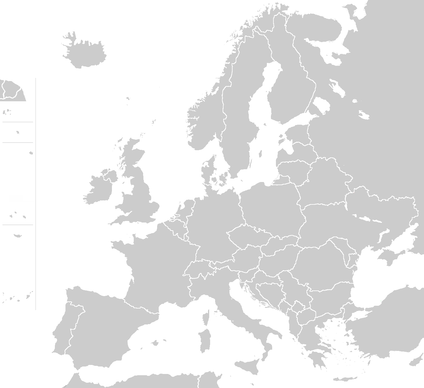
Blank map of Europe - use to show countries' locations, EU members, etc. – see examples:
- Image:EU Members Candidates 2004 2007.png
- Image:Europe location CH.png
- Image:Europe location CZ.png
- Image:LocationGermanyInEurope.png
- Image:Map Vodafone.png
Author of this map: wiki-vr 19:56, 26 Mar 2005 (UTC)
| This image has been released into the public domain by its author, Wiki-vr. This applies worldwide. In some countries this may not be legally possible; if so: العربية | Български | Deutsch | Ελληνικά | English | Español | Français | Italiano | 日本語 | 한국어 | Polski | Русский | Српски / Srpski | Svenska | தமிழ் | Українська | 中文(繁體) | 中文(简体) +/- |
the map is using the maps' boundaries as provided by one of the thousands files in the ClarisImpact libraries, otherwise competely redrawn, including "wiki" colors
Historique du fichier
Cliquer sur une date et une heure pour voir le fichier tel qu’il était à ce moment-là
| Date et heure | Dimensions | Utilisateur | Commentaire | |
|---|---|---|---|---|
| actuel | 22 mars 2008 à 23:58 | 1 360×1 245 (84 Kio) | Nightstallion | (Reverted to version as of 16:34, 13 March 2008) |
| 19 mars 2008 à 21:36 | 1 360×1 245 (84 Kio) | Patstuart | (Reverted to version as of 18:15, 11 March 2008 - see Image talk:BlankMap-World-v6.png#As stated in reversion) | |
| 13 mars 2008 à 18:34 | 1 360×1 245 (84 Kio) | Nightstallion | (upload a variant if you wish, but the majority in Europe recognises or will recognise.) | |
| 11 mars 2008 à 20:15 | 1 360×1 245 (84 Kio) | Avala | (there is no consensus in Europe) | |
| 24 février 2008 à 16:02 | 1 360×1 245 (84 Kio) | Hoshie | (Added Kosovo since it has been internationally recognized ) | |
| 10 juin 2006 à 02:20 | 1 360×1 245 (84 Kio) | QuartierLatin1968 | (Montenegro is now independent; widespread recognition can be expected within the next few weeks) | |
| 1 septembre 2005 à 00:16 | 1 360×1 245 (46 Kio) | Gugganij | (and again some changes) | |
| 1 septembre 2005 à 00:09 | 1 360×1 245 (49 Kio) | Gugganij | (some minor changes) | |
| 26 mars 2005 à 21:56 | 1 245×1 245 (53 Kio) | Wiki-vr | (Blank map of Europe - use to show countries' locations, EU members, etc. – see examples: *http://commons.wikimedia.org/wiki/Image:EU_Members_Candidates_2004_2007.png *http://commons.wikimedia.org/wiki/Image:Europe_location_CH.png *http://commons.wikime) |

