Image:Bioko.png
Un article de Wikipédia, l'encyclopédie libre.
Pas de plus haute résolution disponible.
Bioko.png (684 × 553 pixels, taille du fichier : 61 Kio, type MIME : image/png)
| | Ce fichier provient de Wikimedia Commons?. Les informations le concernant sont affichées ci-dessous (procédure). |
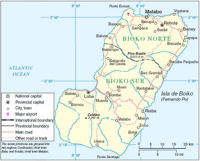
Area de Bioko de la imágen: http://commons.wikimedia.org/wiki/Image:Annobón_Bioko.PNG
Fuente: http://www.un.org/Depts/Cartographic/map/profile/eqguinea.pdf
| This image is a mapping derived from products of the United Nations Cartographic Section. Modified versions of UNCS maps may be used provided that the UN name and reference number does not appear on any modified version and a link to the original map is provided. Modified UN maps are to be considered in the public domain. This applies worldwide The UN maps is an open source material. You can use them to make your own maps. You do not need our permission for that. Please be advised that the UN name and reference number should not appear on any modified map. The UN map is a UN document and cannot be modified. You can say something like "Based on UN map number..." -- Vladimir Bessarabov (UNCS Cartographer), 13 April 05 |
 |
Historique du fichier
Cliquer sur une date et une heure pour voir le fichier tel qu’il était à ce moment-là
| Date et heure | Dimensions | Utilisateur | Commentaire | |
|---|---|---|---|---|
| actuel | 14 avril 2006 à 20:25 | 684×553 (61 Kio) | KillOrDie | (Area de Bioko de la imágen: http://commons.wikimedia.org/wiki/Image:Annobón Bioko.PNG Fuente: http://www.un.org/Depts/Cartographic/map/profile/eqguinea.pdf {{PD}}) |

