Image:1997 Red River Flood Grand Forks.jpg
Un article de Wikipédia, l'encyclopédie libre.
Taille de cet aperçu : 757 × 600 pixels
Image en plus haute résolution (1 500 × 1 188 pixels, taille du fichier : 795 Kio, type MIME : image/jpeg)
| | Ce fichier provient de Wikimedia Commons?. Les informations le concernant sont affichées ci-dessous (procédure). |
| Description |
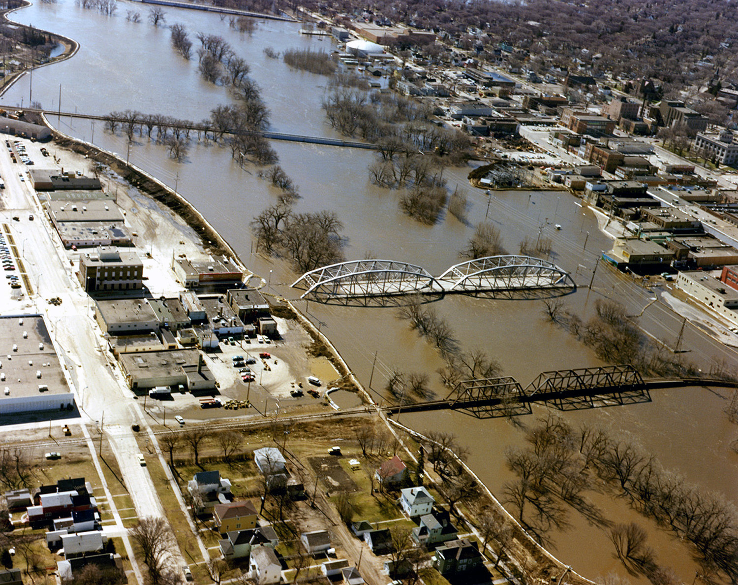
English: The Red River in flood in April or May 1979 in Grand Forks, North Dakota and East Grand Forks, Minnesota.
|
|||
|---|---|---|---|---|
| Source |
U.S. Army Corps of Engineers Digital Visual Library |
|||
| Date |
1997-04 |
|||
| Author |
Ken Gardner, U.S. Army Corps of Engineers |
|||
| Permission (Reusing this image) |
|
| Camera location | This and other geocoded Commons images: | (Info) |
|---|
Historique du fichier
Cliquer sur une date et une heure pour voir le fichier tel qu’il était à ce moment-là
| Date et heure | Dimensions | Utilisateur | Commentaire | |
|---|---|---|---|---|
| actuel | 7 avril 2007 à 20:52 | 1 500×1 188 (795 Kio) | DanMS | ({{Information | Description = {{en|The Red River in flood in April or May of 1997 in Grand Forks, North Dakota and East Grand Forks, Minnesota.}} | Source = U.S. Army Corps of Engineers Digital Visual Library<br />[http://images.usace.army.mil/) |
Pages contenant l’image
La page ci-dessous contient cette image :

