Image:USACE Eufaula Lake and Dam Oklahoma.jpg
Un article de Wikipédia, l'encyclopédie libre.
Taille de cet aperçu : 478 × 599 pixels
Image en plus haute résolution (1 197 × 1 500 pixels, taille du fichier : 769 Kio, type MIME : image/jpeg)
| | Ce fichier provient de Wikimedia Commons?. Les informations le concernant sont affichées ci-dessous (procédure). |
| Description |
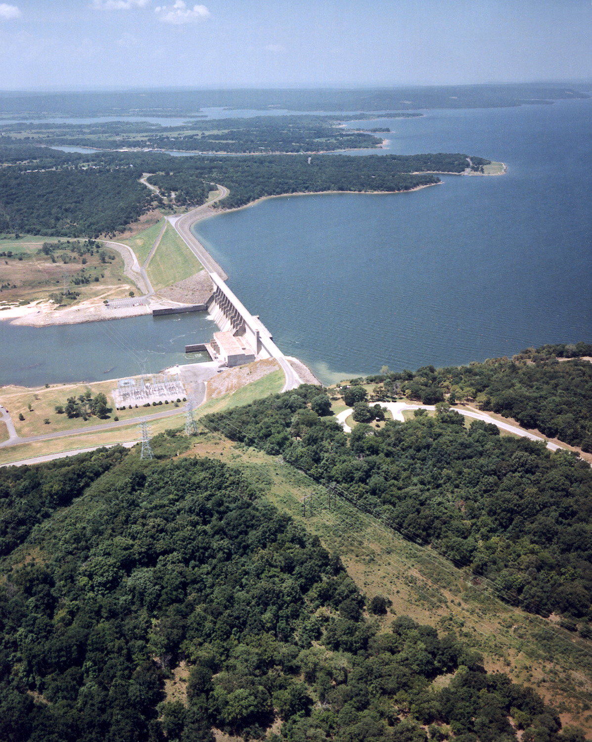
English: Aerial view of Lake Eufaula and Dam on the Canadian River in the U.S. state of Oklahoma. The lake is located in McIntosh, Pittsburg, and Haskell Counties. The lake is located approximately 65 miles (104 km) south-southeast of the city of Tulsa. The U.S. Army Corps of Engineers constructed the dam for flood control and water supply.
Coordinates: 35°18′23.69″N, 95°21′30.32″W |
|||
|---|---|---|---|---|
| Source |
U.S. Army Corps of Engineers Digital Visual Library |
|||
| Date |
1999-03-03 (Caveat: Dates provided by U.S. Army Corps of Engineers Digital Visual Library are not reliable and may be wrong.) |
|||
| Author |
U.S. Army Corps of Engineers, photographer not specified or unknown |
|||
| Permission (Reusing this image) |
|
Historique du fichier
Cliquer sur une date et une heure pour voir le fichier tel qu’il était à ce moment-là
| Date et heure | Dimensions | Utilisateur | Commentaire | |
|---|---|---|---|---|
| actuel | 15 mai 2007 à 05:10 | 1 197×1 500 (769 Kio) | DanMS | ({{Information | Description = {{en|Aerial view of Lake Eufaula and Dam on the Canadian River in the U.S. state of Oklahoma. The lake is located in McIntosh, Pittsburg, and Haskell Counties. The lake is located approximately 65 miles (104 km) south-sout) |
Pages contenant l’image
La page ci-dessous contient cette image :

