Image:Uk outline map.png
Un article de Wikipédia, l'encyclopédie libre.
Taille de cet aperçu : 450 × 600 pixels
Image en plus haute résolution (600 × 800 pixels, taille du fichier : 9 Kio, type MIME : image/png)
| | Ce fichier provient de Wikimedia Commons?. Les informations le concernant sont affichées ci-dessous (procédure). |
[edit] Summary
| Description |
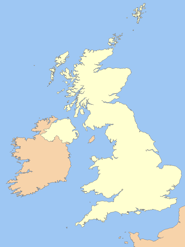
A blank map of the United Kingdom, with country outline and coastline; contact the author for help with modifications or add-ons |
|---|---|
| Source |
Reference map provided by Demis Mapper 6 |
| Date |
2006-21-06 |
| Author | |
| Permission (Reusing this image) |
See below |
[edit] Licensing

Historique du fichier
Cliquer sur une date et une heure pour voir le fichier tel qu’il était à ce moment-là
| Date et heure | Dimensions | Utilisateur | Commentaire | |
|---|---|---|---|---|
| actuel | 31 mars 2007 à 02:14 | 600×800 (9 Kio) | Tene | (Optimised (0;r); I removed the (new) alpha channel - I've no idea why the previous uploader added it.) |
| 15 mars 2007 à 13:54 | 600×800 (33 Kio) | Hoshie | (Fixed map to show that the Channel Islands and the Isle of Man are NOT a part of the UK - they are Crown Dependencies!) | |
| 20 février 2007 à 01:50 | 600×800 (9 Kio) | Tene | (Optimised (0;1024)) | |
| 14 octobre 2006 à 19:03 | 600×800 (12 Kio) | Nichtbesserwisser | (== Summary == {{Information| |Description=A blank map of the United Kingdom, with country outline and coastline; contact the author for help with modifications or add-ons |Source=Reference map provided by Demis Mapper 6 |Date=2006-21-06 |Author=[[:en:User) |
Pages contenant l’image
Les pages ci-dessous contiennent cette image :
- Parcs nationaux d'Angleterre et du Pays de Galles
- Parc naturel du Dartmoor
- Parc national des Trossachs et du Loch Lomond
- Arthur's Seat
- Parc national du Lake District
- Parc national de Peak District
- Yorkshire Dales
- Parc national des North York Moors
- Snowdonia
- Parc naturel du Northumberland
- Montagnes de Mourne
- Modèle:Géolocalisation/Royaume-Uni
- Fièvre aphteuse d'août 2007 en Angleterre
- Modèle:Infobox Hôpital
- Utilisateur:RockyRoad/Brouillons/Infoboites
- Utilisateur:RockyRoad/Brouillons/Geolocalisation
- Modèle:Parcs nationaux du Royaume-Uni
- Parc national New Forest
- Parc national d'Exmoor

