Image:Turkey topo.jpg
Un article de Wikipédia, l'encyclopédie libre.
Taille de cet aperçu : 800 × 430 pixels
Image en plus haute résolution (1 400 × 752 pixels, taille du fichier : 463 Kio, type MIME : image/jpeg)
| | Ce fichier provient de Wikimedia Commons?. Les informations le concernant sont affichées ci-dessous (procédure). |
[edit] Summary
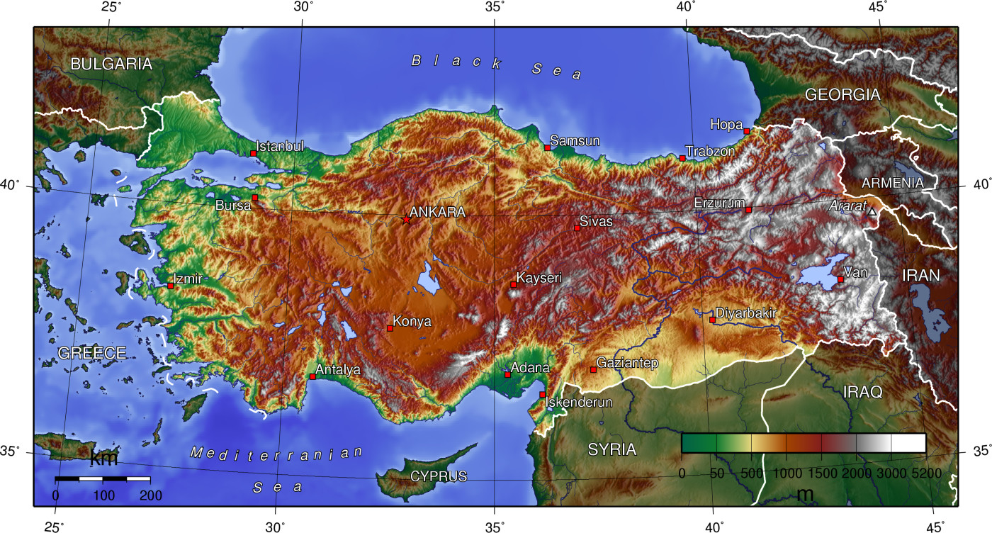
English: Topographical map of Turkey
Español: Mapa topográfico de Turquía
Türkçe: Türkiye topografik haritası
From en:Image:Turkey_topo.jpg. Originally uploaded 14:22, July 1, 2005 by en:User:Captain Blood
Topographical map of Turkey
[edit] Licensing
 |
Permission is granted to copy, distribute and/or modify this map under the terms of the GNU Free Documentation License, Version 1.2 or any later version published by the Free Software Foundation; with no Invariant Sections, no Front-Cover Texts, and no Back-Cover Texts. A copy of the license is included in the section entitled "GNU Free Documentation License". The map has been created with the Generic Mapping Tools: http://gmt.soest.hawaii.edu/ using one or more of these public domain datasets for the relief:
|
|
Historique du fichier
Cliquer sur une date et une heure pour voir le fichier tel qu’il était à ce moment-là
| Date et heure | Dimensions | Utilisateur | Commentaire | |
|---|---|---|---|---|
| actuel | 20 octobre 2005 à 14:51 | 1 400×752 (463 Kio) | Taragui | (From en:Image:Turkey_topo.jpg. Originally uploaded 14:22, July 1, 2005 by en:User:Captain Blood Topographical map of Turkey Category:Maps of Turkey) |
Pages contenant l’image
La page ci-dessous contient cette image :

