Image:TsuenWan-PositionWithinHKSAR.gif
Un article de Wikipédia, l'encyclopédie libre.
Pas de plus haute résolution disponible.
TsuenWan-PositionWithinHKSAR.gif (500 × 435 pixels, taille du fichier : 54 Kio, type MIME : image/gif)
| | Ce fichier provient de Wikimedia Commons?. Les informations le concernant sont affichées ci-dessous (procédure). |
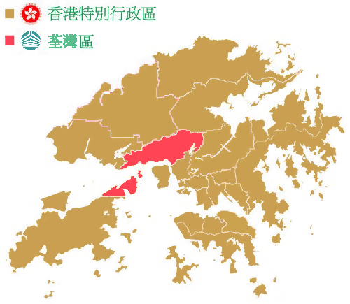
[edit] 簡述
香港特別行政區 荃灣區
Based on Image:Hong Kong District Locator (template map).png
[edit] Licensing
 |
This work is free software; you can redistribute it and/or modify it under the terms of the GNU General Public License as published by the Free Software Foundation; either version 2 of the License, or any later version. This work is distributed in the hope that it will be useful, but WITHOUT ANY WARRANTY; without even the implied warranty of MERCHANTABILITY or FITNESS FOR A PARTICULAR PURPOSE. See version 2 and version 3 of the GNU General Public License for more details.
العربية | Català | Česky | Deutsch | Ελληνικά | English | Español | فارسی | Français | Italiano | 日本語 | Nederlands | Polski | Português | Русский | Slovenčina | Svenska | Türkçe | 中文(简体) | 中文(繁體) | +/- |
Historique du fichier
Cliquer sur une date et une heure pour voir le fichier tel qu’il était à ce moment-là
| Date et heure | Dimensions | Utilisateur | Commentaire | |
|---|---|---|---|---|
| actuel | 31 mai 2006 à 10:49 | 500×435 (54 Kio) | Minghong | (Correction: Tsuen Wan District covers Ma Wan and Northern part of Lantau Island as well) |
| 20 mai 2006 à 15:34 | 500×435 (77 Kio) | Akdoraemon | (香港特別行政區 荃灣區) |
Pages contenant l’image
La page ci-dessous contient cette image :

