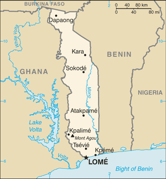
Image:Togo-CIA WFB Map.png
Un article de Wikipédia, l'encyclopédie libre.
Pas de plus haute résolution disponible.
Togo-CIA_WFB_Map.png (328 × 353 pixels, taille du fichier : 17 Kio, type MIME : image/png)
| | Ce fichier provient de Wikimedia Commons?. Les informations le concernant sont affichées ci-dessous (procédure). |
- See also the 2004 version.
| This image is in the public domain because it contains materials that originally came from the United States Central Intelligence Agency's World Factbook.
Deutsch | English | Español | Français | 日本語 | Nederlands | 한국어 | Português | தமிழ் | Magyar | +/- |
 |
Historique du fichier
Cliquer sur une date et une heure pour voir le fichier tel qu’il était à ce moment-là
| Date et heure | Dimensions | Utilisateur | Commentaire | |
|---|---|---|---|---|
| actuel | 21 juillet 2007 à 10:12 | 328×353 (17 Kio) | Hoshie | (Updated map of Togo from the CIA World Factbook, 14 June 07 rev. Src: https://www.cia.gov/library/publications/the-world-factbook/maps/to-map.gif) |
| 27 mars 2005 à 11:18 | 338×727 (15 Kio) | Wolfman | ({{CIA-map}}) |
Pages contenant l’image
Les pages ci-dessous contiennent cette image :

