Image:River Hull tidal barrier 1.jpg
Un article de Wikipédia, l'encyclopédie libre.
Pas de plus haute résolution disponible.
River_Hull_tidal_barrier_1.jpg (640 × 481 pixels, taille du fichier : 83 Kio, type MIME : image/jpeg)
| | Ce fichier provient de Wikimedia Commons?. Les informations le concernant sont affichées ci-dessous (procédure). |
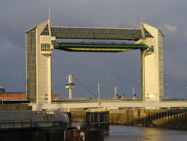
River Hull tidal barrier.
The tidal barrier is situated at the end of the River Hull where it meets the River Humber.
| This image was taken from the Geograph project collection. See this photograph's page on the Geograph website for the photographer's contact details. The copyright on this image is owned by Andy B and is licensed for reuse under the Creative Commons Attribution-ShareAlike 2.0 license. |
| This file is licensed under Creative Commons Attribution ShareAlike 2.0 License (cc-by-sa-2.0). In short: you are free to share and make derivative works of the file under the conditions that you appropriately attribute it, and that you distribute it under this or a similar cc-by-sa license. |
Historique du fichier
Cliquer sur une date et une heure pour voir le fichier tel qu’il était à ce moment-là
| Date et heure | Dimensions | Utilisateur | Commentaire | |
|---|---|---|---|---|
| actuel | 4 octobre 2005 à 01:25 | 640×481 (83 Kio) | Edward | (w:River Hull tidal barrier. The tidal barrier is situated at the end of the River Hull where it meets the w:River Humber. From http://www.geograph.co.uk/photo/8722 Copyright Andy B and licenced for reuse under this Creative Commons Licence. ) |
Pages contenant l’image
La page ci-dessous contient cette image :
Métadonnées
Ce fichier contient des informations supplémentaires probablement ajoutées par l’appareil photo numérique ou le numériseur qui l’a acquis. Si le fichier a été modifié depuis son état original, certains détails peuvent ne pas refléter entièrement l’image modifiée.
| Fabricant de l’appareil | OLYMPUS OPTICAL CO.,LTD |
|---|---|
| Modèle de l’appareil | C4040Z |
| Temps d’exposition | 1/250 sec (0.004) |
| Ouverture | f/5 |
| Date de la prise originelle | 8 février 2004 à 16:06 |
| Longueur focale | 21 mm |
| Description de l’image | OLYMPUS DIGITAL CAMERA |
| Orientation | Normale |
| Résolution horizontale | 72 dpi |
| Résolution verticale | 72 dpi |
| Logiciel utilisé | OLYMPUS CAMEDIA Master |
| Date de modification | 8 février 2004 à 19:52 |
| Positionnement YCbCr | 2 |
| Programme d’exposition | Priorité à l’ouverture |
| Sensibilité ISO | 100 |
| Version EXIF | 2.1 |
| Date de la numérisation | 8 février 2004 à 16:06 |
| Mode de compression de l’image | 1 |
| Correction d’exposition | 0 |
| Ouverture maximale | 2.8 |
| Mode de mesure | Modèle |
| Source de lumière | Inconnue |
| Flash | 0 |
| Espace colorimétrique | sRGB |

