Image:Rhineland p map.png
Un article de Wikipédia, l'encyclopédie libre.
Pas de plus haute résolution disponible.
Rhineland_p_map.png (268 × 350 pixels, taille du fichier : 11 Kio, type MIME : image/png)
| | Ce fichier provient de Wikimedia Commons?. Les informations le concernant sont affichées ci-dessous (procédure). |
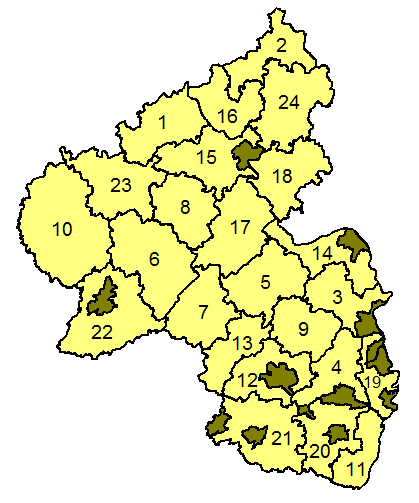
Landkreise in Rheinland-Pfalz
- From german wikipedia: de:Bild:Rhineland p map.png
- History:
- (Löschen) (Aktuell) 15:32, 6. Jun 2003 . . AHoerstemeier (9434 Byte) (Korrigierte Version - aus der englischen Wikipedia)
- (Löschen) (Zurücksetzen) 20:32, 26. Apr 2003 . . Stefan Kühn (13062 Byte) (Landkreise in Rheinland-Pfalz)

Historique du fichier
Cliquer sur une date et une heure pour voir le fichier tel qu’il était à ce moment-là
| Date et heure | Dimensions | Utilisateur | Commentaire | |
|---|---|---|---|---|
| actuel | 6 juin 2007 à 14:48 | 268×350 (11 Kio) | Geograv | ( ) |
| 2 juin 2005 à 10:35 | 268×350 (9 Kio) | Pll | (Landkreise in Rheinland-Pfalz From german wikipedia Bild:Rhineland p map.png) |
Pages contenant l’image
La page ci-dessous contient cette image :

