Image:Portage Wisconsin aerial view.jpg
Un article de Wikipédia, l'encyclopédie libre.
Taille de cet aperçu : 800 × 480 pixels
Image en plus haute résolution (1 500 × 900 pixels, taille du fichier : 644 Kio, type MIME : image/jpeg)
| | Ce fichier provient de Wikimedia Commons?. Les informations le concernant sont affichées ci-dessous (procédure). |
| Description |
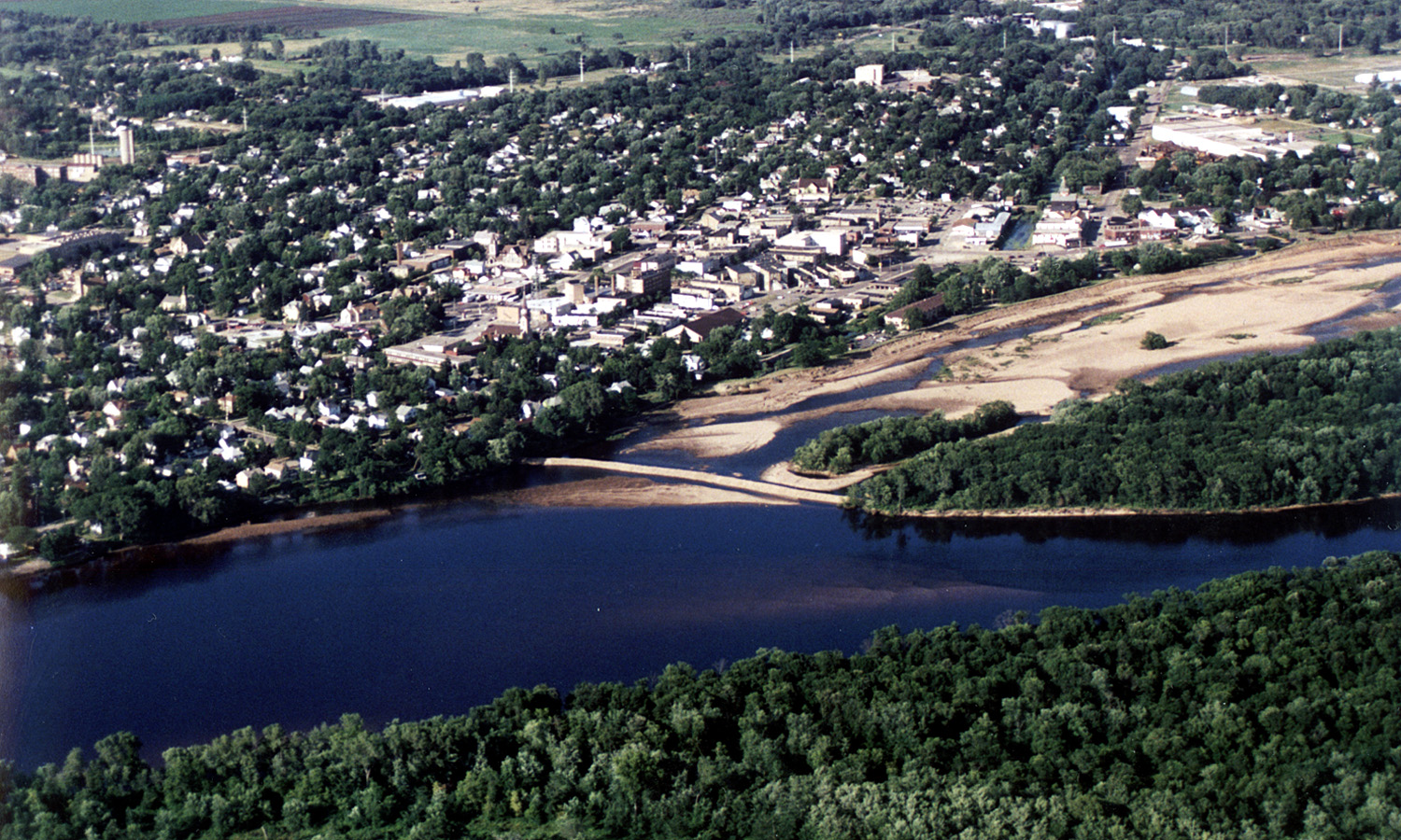
English: Aerial view of the City of Portage, Wisconsin, USA on the Wisconsin River. Upstream end of project showing cofferdam protecting river borrow area. Portage canal leading to the Fox River, visible on the right.
|
|||
|---|---|---|---|---|
| Source |
U.S. Army Corps of Engineers Digital Visual Library |
|||
| Date |
1998-07-01 |
|||
| Author |
Tom Crump, U.S. Army Corps of Engineers |
|||
| Permission (Reusing this image) |
|
| Camera location | This and other geocoded Commons images: | (Info) |
|---|
Historique du fichier
Cliquer sur une date et une heure pour voir le fichier tel qu’il était à ce moment-là
| Date et heure | Dimensions | Utilisateur | Commentaire | |
|---|---|---|---|---|
| actuel | 7 avril 2007 à 05:15 | 1 500×900 (644 Kio) | DanMS | ({{Information | Description = {{en|Aerial view of the City of Portage, Wisconsin, USA on the Wisconsin River. Upstream end of project showing cofferdam protecting river borrow area. Portage canal leading to the Fox River, visible on the right.}} | ) |
Pages contenant l’image
La page ci-dessous contient cette image :

