Image:Ph locator map pangasinan.png
Un article de Wikipédia, l'encyclopédie libre.
Pas de plus haute résolution disponible.
Ph_locator_map_pangasinan.png (300 × 440 pixels, taille du fichier : 19 Kio, type MIME : image/png)
| | Ce fichier provient de Wikimedia Commons?. Les informations le concernant sont affichées ci-dessous (procédure). |
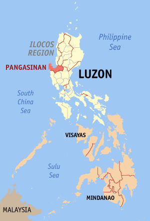
Map of the Philippines showing the location of Pangasinan.
Created and copyright (2003) by seav. Released under the GNU FDL.

Historique du fichier
Cliquer sur une date et une heure pour voir le fichier tel qu’il était à ce moment-là
| Date et heure | Dimensions | Utilisateur | Commentaire | |
|---|---|---|---|---|
| actuel | 30 décembre 2005 à 15:51 | 300×440 (19 Kio) | Magalhães | |
| 27 juillet 2005 à 22:47 | 300×450 (15 Kio) | Magalhães | (Map of the Philippines showing the location of Pangasinan. Source: [http://en.wikipedia.org/wiki/Image:Ph_locator_map_pangasinan.png English wikipedia] {{GFDL}} Category: Maps of the Philippines ) |
Pages contenant l’image
La page ci-dessous contient cette image :

