Image:Peru sat.png
Un article de Wikipédia, l'encyclopédie libre.
Taille de cet aperçu : 742 × 599 pixels
Image en plus haute résolution (2 600 × 2 100 pixels, taille du fichier : 11,25 Mio, type MIME : image/png)
| | Ce fichier provient de Wikimedia Commons?. Les informations le concernant sont affichées ci-dessous (procédure). |
[edit] Sumario
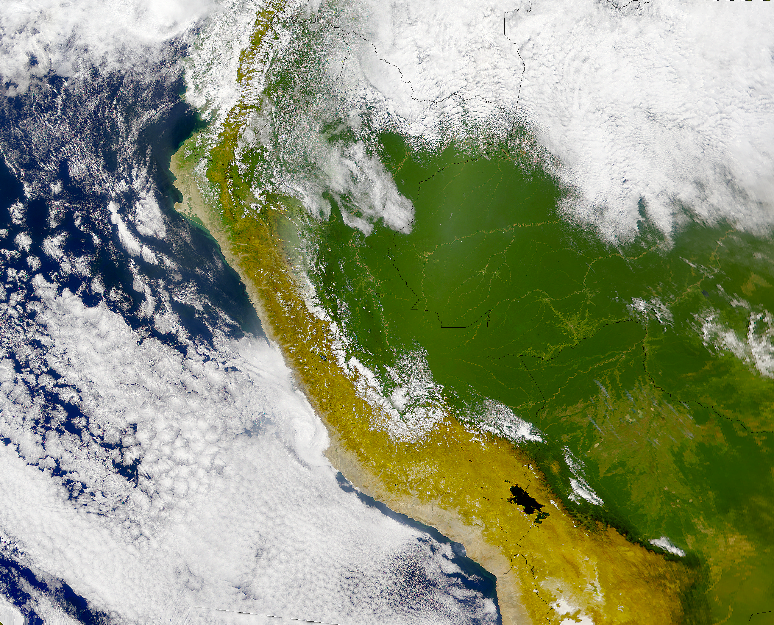
Runa Simi: Piruwta satélite tikti.
Español: Imagen satelital del Perú.
English: Satellite image of Perú.
[edit] Licensing
|
|
This file is in the public domain because it was created by NASA. NASA copyright policy states that "NASA material is not protected by copyright unless noted". (NASA copyright policy page or JPL Image Use Policy).
Deutsch | English | Español | Français | Nederlands | Português | Русский | 中文(简体) | 中文(繁體) | +/- |
|
 |
Warnings:
|
Historique du fichier
Cliquer sur une date et une heure pour voir le fichier tel qu’il était à ce moment-là
| Date et heure | Dimensions | Utilisateur | Commentaire | |
|---|---|---|---|---|
| actuel | 23 avril 2005 à 23:11 | 2 600×2 100 (11,25 Mio) | Huhsunqu | (*Piruwta ''satélite'' imaxin. *Imagen satelital del Perú. *Satellite image of Perú. {{PD-USGov-NASA}} Category:Maps of Peru Category:Satellite images) |
Pages contenant l’image
La page ci-dessous contient cette image :

