Image:Paktopo de.jpg
Un article de Wikipédia, l'encyclopédie libre.
Taille de cet aperçu : 646 × 600 pixels
Image en plus haute résolution (1 187 × 1 102 pixels, taille du fichier : 1,28 Mio, type MIME : image/jpeg)
| | Ce fichier provient de Wikimedia Commons?. Les informations le concernant sont affichées ci-dessous (procédure). |
| Description |
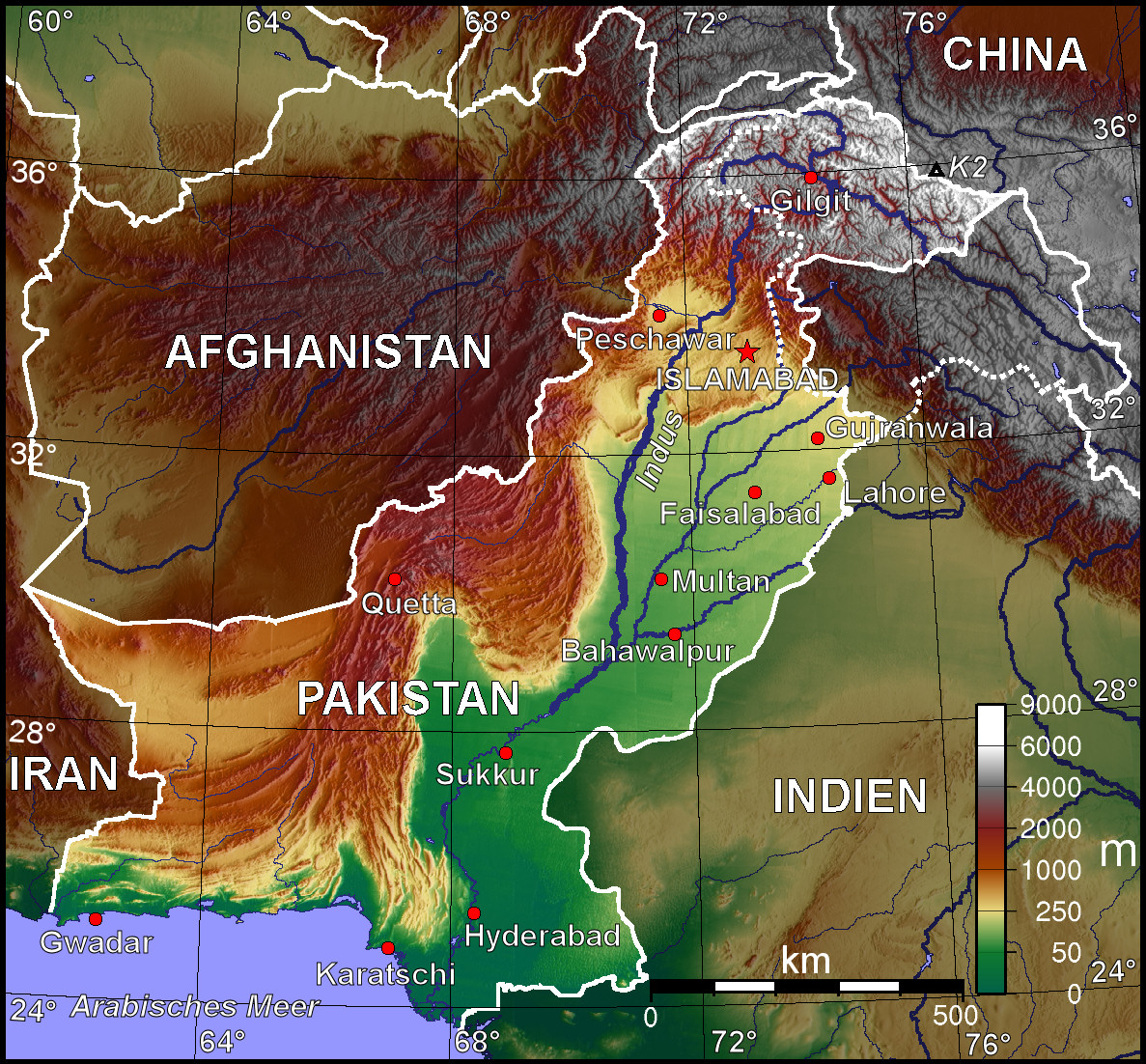
Topografische Karte Pakistans (deutschsprachige Version) |
|---|---|
| Source |
Selbst erstellt mit Generic Mapping Tool |
| Date |
11. Oktober 2006 |
| Author | |
| Permission (Reusing this image) |
Unter GNU-FDL veröffentlicht |
| Other versions | Other language versions available upon request |
 |
Permission is granted to copy, distribute and/or modify this map under the terms of the GNU Free Documentation License, Version 1.2 or any later version published by the Free Software Foundation; with no Invariant Sections, no Front-Cover Texts, and no Back-Cover Texts. A copy of the license is included in the section entitled "GNU Free Documentation License". The map has been created with the Generic Mapping Tools: http://gmt.soest.hawaii.edu/ using one or more of these public domain datasets for the relief:
|
|
Historique du fichier
Cliquer sur une date et une heure pour voir le fichier tel qu’il était à ce moment-là
| Date et heure | Dimensions | Utilisateur | Commentaire | |
|---|---|---|---|---|
| actuel | 11 octobre 2006 à 18:38 | 1 187×1 102 (1,28 Mio) | Jungpionier | (besser so) |
| 11 octobre 2006 à 17:47 | 1 187×1 102 (307 Kio) | Jungpionier | (ein winziges kleines bisschen nachbearbeitet (rote Punkte außerhalb der Stadtmarkierungspunkte entfernt)) | |
| 11 octobre 2006 à 15:20 | 1 187×1 102 (684 Kio) | BishkekRocks | ({{Information |Description=Topografische Karte Pakistans (deutschsprachige Version) |Source=Selbst erstellt mit Generic Mapping Tool |Date=11. Oktober 2006 |Author=BishkekRocks |Permission=Unter GNU-FDL veröffentlicht }} {{GMT}} [[C) |
Pages contenant l’image
La page ci-dessous contient cette image :

