Image:Mt Harun from Taybe.JPG
Un article de Wikipédia, l'encyclopédie libre.
Taille de cet aperçu : 800 × 446 pixels
Image en plus haute résolution (1 600 × 891 pixels, taille du fichier : 301 Kio, type MIME : image/jpeg)
| | Ce fichier provient de Wikimedia Commons?. Les informations le concernant sont affichées ci-dessous (procédure). |
[edit] Summary
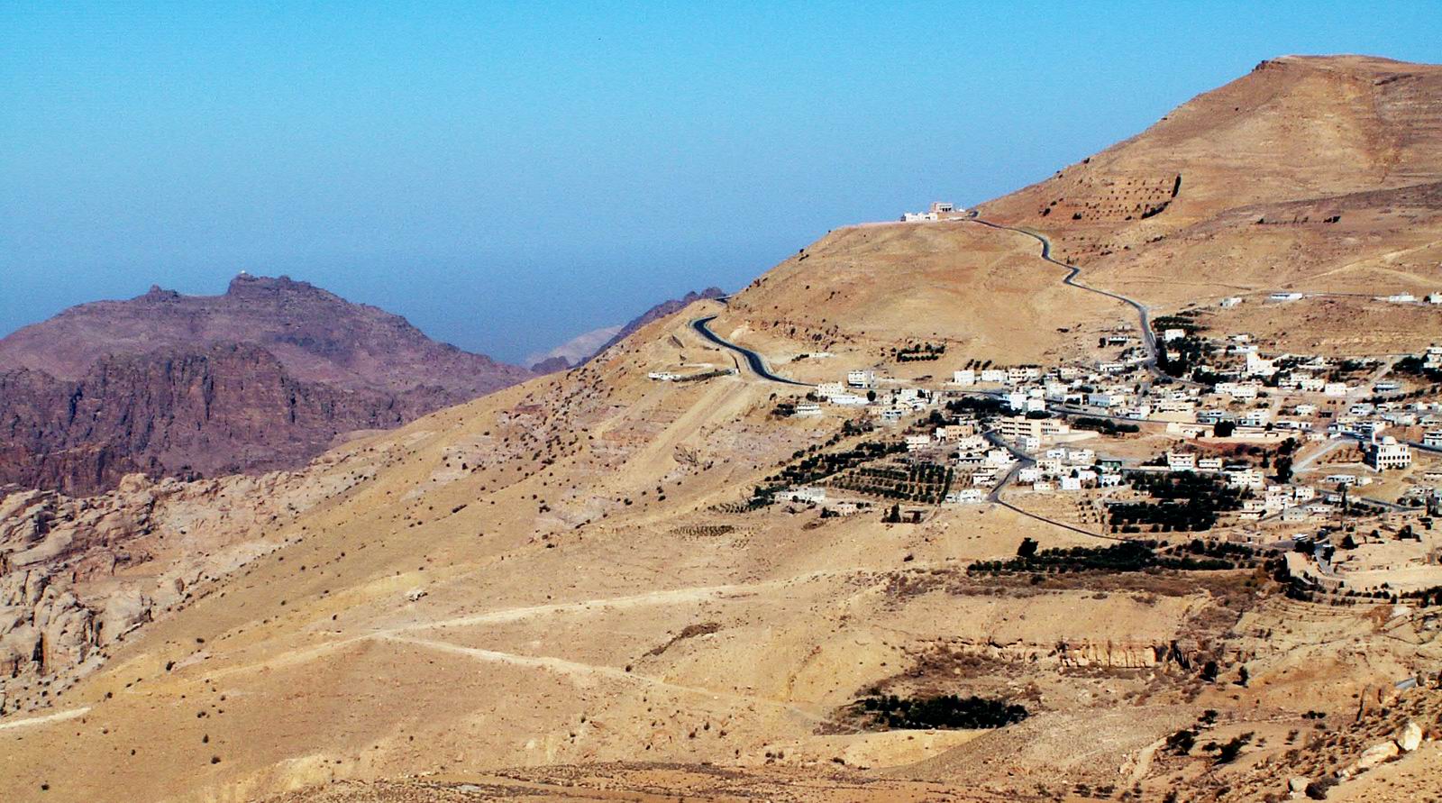
Jebel Harun (mt. of Aaron) at the left as seen from the Village of Taybe, south of Petra. the top of Jebel Harun has two peaks. on the right peak is the "Welly", The mosque on the grave of Aaron. in the photo it can be seen as a white dot on the top.
Jebel Harun is part of Petra archeological site.
Jebel Harun is located in the Horeb mountains, The red rocks area of Petra. high above the Horeb mountains is Mt. Seir or jebel A-Shara, where the village of Taybe is located and many other small villages. Photo by Uri Juda
[edit] Licensing

Historique du fichier
Cliquer sur une date et une heure pour voir le fichier tel qu’il était à ce moment-là
| Date et heure | Dimensions | Utilisateur | Commentaire | |
|---|---|---|---|---|
| actuel | 15 janvier 2006 à 01:18 | 1 600×891 (301 Kio) | Uri | (Jebel Harun (mt. of Aaron) at the left as seen from the Vilage of Taybe, south of Petra. Mt. Harun is located in the Horeb mountains, The red rocks area of Petra. high above the Horeb mountains is Mt. Seir or jebel A-Shara where we can see the village of) |
Pages contenant l’image
La page ci-dessous contient cette image :

