Image:Mitiaro Island map.jpg
Un article de Wikipédia, l'encyclopédie libre.
Taille de cet aperçu : 800 × 582 pixels
Image en plus haute résolution (1 240 × 902 pixels, taille du fichier : 200 Kio, type MIME : image/jpeg)
| | Ce fichier provient de Wikimedia Commons?. Les informations le concernant sont affichées ci-dessous (procédure). |
| Description |
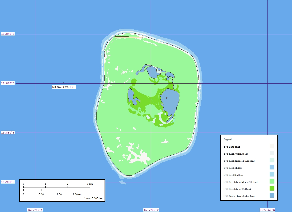
Map of Mitiaro Island, Cook Islands |
||||
|---|---|---|---|---|---|
| Source | |||||
| Date |
9 April 2006 |
||||
| Author | |||||
| Permission (Reusing this image) |
|

Historique du fichier
Cliquer sur une date et une heure pour voir le fichier tel qu’il était à ce moment-là
| Date et heure | Dimensions | Utilisateur | Commentaire | |
|---|---|---|---|---|
| actuel | 14 octobre 2006 à 21:20 | 1 240×902 (200 Kio) | Vriullop | ({{Information |Description=Map of Mitiaro Island, Cook Islands |Source=[http://www.flickr.com/photos/evsmap/125987540/ Flickr] |Date=9 April 2006 |Author=[http://www.flickr.com/photos/evsmap/ EVS-Islands] |Permission={{cc-by-2.0}} |other_versions= }} [[C) |
Pages contenant l’image
La page ci-dessous contient cette image :

