Image:Mer de Barents carte.png
Un article de Wikipédia, l'encyclopédie libre.
Taille de cet aperçu : 655 × 599 pixels
Image en plus haute résolution (1 200 × 1 098 pixels, taille du fichier : 313 Kio, type MIME : image/png)
| | Ce fichier provient de Wikimedia Commons?. Les informations le concernant sont affichées ci-dessous (procédure). |
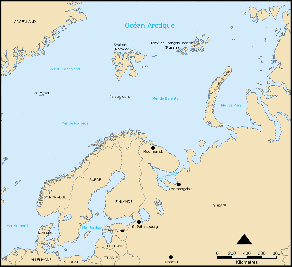
Carte de la Mer de Barents et du Nord de l'Europe
Created by NormanEinstein, November 25, 2005.
Modified and translated by historicair 18:23, 2 March 2006 (UTC)
English: This map was made or improved by the Wikigraphists of the Atelier graphique. You can propose maps or images to clean up and improve as well.
Esperanto: Ĉi tiu mapo estis kreita aŭ plibonigita de la Vikigrafistoj el la Grafika laborgrupo. Vi ankaŭ povas tie proponi mapojn aŭ bildojn plibonigendajn.
Español: Este mapa ha sido confeccionado o mejorado por los Wikígrafos del Taller gráfico. Puedes proponer la mejora de cualquier imagen a través de la página de Peticiones.
Français : Cette carte a été créée ou améliorée par les Wikigraphistes de l'Atelier graphique. Vous pouvez également y proposer des cartes ou des images à améliorer.
Türkçe: Bu harita Atelier graphique'ten Wikigraphistes'ler tarafından yapıldı veya geliştirildi. Siz de haritalar veya resimleri temizlemek veya geliştirmek için teklif edebilirsiniz.

Historique du fichier
Cliquer sur une date et une heure pour voir le fichier tel qu’il était à ce moment-là
| Date et heure | Dimensions | Utilisateur | Commentaire | |
|---|---|---|---|---|
| actuel | 2 mars 2006 à 20:23 | 1 200×1 098 (313 Kio) | Historicair | (Carte de la Mer de Barents et du Nord de l'Europe Created by NormanEinstein, November 25, 2005. Modified and translated by ~~~~ {{Atelier graphique carte}} {{GFDL-self}} Category:Maps of seas) |
Pages contenant l’image
La page ci-dessous contient cette image :

