Image:Map of Reading, Berks County, Pennsylvania Highlighted.png
Un article de Wikipédia, l'encyclopédie libre.
Pas de plus haute résolution disponible.
Map_of_Reading,_Berks_County,_Pennsylvania_Highlighted.png (726 × 564 pixels, taille du fichier : 48 Kio, type MIME : image/png)
| | Ce fichier provient de Wikimedia Commons?. Les informations le concernant sont affichées ci-dessous (procédure). |
| Description | |
|---|---|
| Source |
Transferred from en.wikipedia |
| Date |
2007-06-29 (original upload date) |
| Author |
Original uploader was "Country" Bushrod Washington at en.wikipedia |
| Permission (Reusing this image) |
CC-BY-SA-2.5,2.0,1.0; Released under the GNU Free Documentation License. |
[edit] License information

[edit] Original upload log
The original description page is/was here. All following user names refer to en.wikipedia.
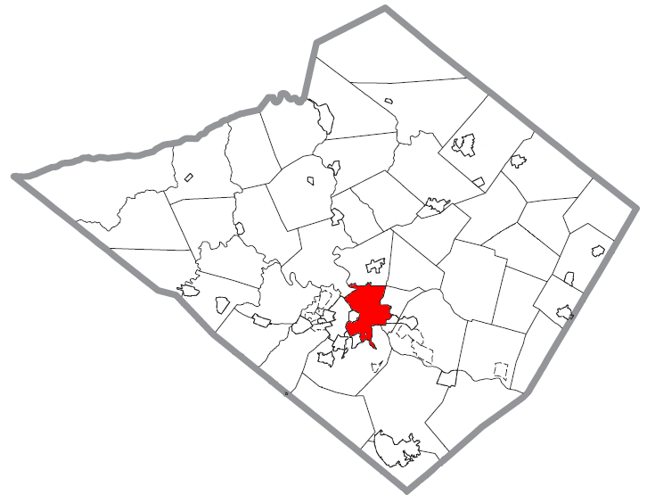
- 2007-06-29 01:40 "Country" Bushrod Washington 726×564×8 (48987 bytes) {{Information |Description=A map of [[Berks County, Pennsylvania|Berks County]] showing [[Reading, Pennsylvania]] highlighted on the map. |Source=Source image taken from the United States Census Bureau’s website [http://www2.census.gov/geo/maps/general_
Historique du fichier
Cliquer sur une date et une heure pour voir le fichier tel qu’il était à ce moment-là
| Date et heure | Dimensions | Utilisateur | Commentaire | |
|---|---|---|---|---|
| actuel | 25 mars 2008 à 22:01 | 726×564 (48 Kio) | Smeira | ({{Information |Description={{en|A map of Berks County showing en:Reading, Pennsylvania highlighted on the map.}} |Source=Transferred from [http://en.wikipedia.org en.wikipedia]<br/> (Original text : ''Source image t) |
Pages contenant l’image
La page ci-dessous contient cette image :

