Image:Map of Brunei Demis.png
Un article de Wikipédia, l'encyclopédie libre.
Taille de cet aperçu : 527 × 599 pixels
Image en plus haute résolution (938 × 1 066 pixels, taille du fichier : 238 Kio, type MIME : image/png)
| | Ce fichier provient de Wikimedia Commons?. Les informations le concernant sont affichées ci-dessous (procédure). |
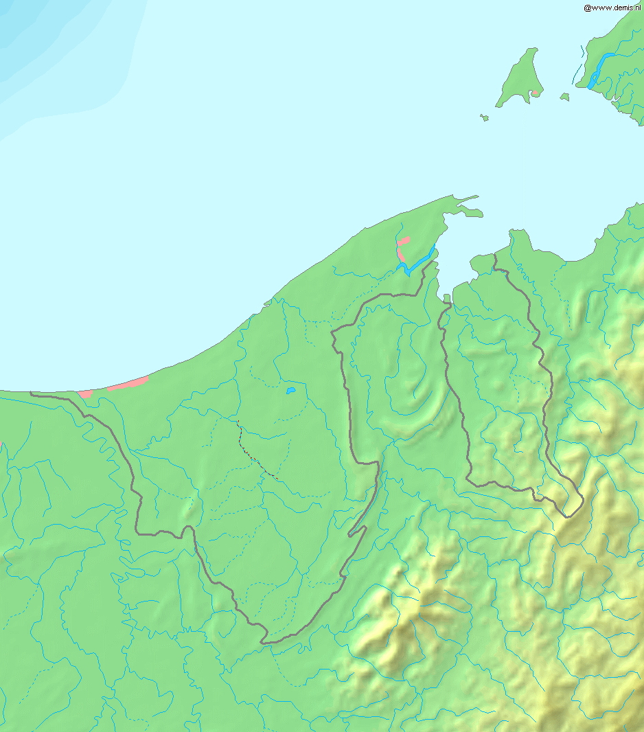
Map of Brunei
Bounding box West 114°, South 3.8°, East 115.5°, North 5.5°. Center at 4.65000° N 114.75000° E.
| This image is in the public domain because came from the site http://www.demis.nl/home/pages/Gallery/examples.htm and was released by the copyright holder. Permission is granted to copy, distribute and/or modify this map since it is based on free of copyright images from: www.demis.nl. See also approval email on de.wp and its clarification. |
Historique du fichier
Cliquer sur une date et une heure pour voir le fichier tel qu’il était à ce moment-là
| Date et heure | Dimensions | Utilisateur | Commentaire | |
|---|---|---|---|---|
| actuel | 20 décembre 2006 à 20:11 | 938×1 066 (238 Kio) | Mats Halldin | (Map of Brunei Bounding box West 114°, South 3.8°, East 115.5°, North 5.5°. Center at {{coor d|4.65000|N|114.75000|E|scale:1020000}}. {{demis-pd}} Category:Maps of Brunei ) |
Pages contenant l’image
La page ci-dessous contient cette image :

