Image:Manitoulin Island.jpg
Un article de Wikipédia, l'encyclopédie libre.
Taille de cet aperçu : 778 × 599 pixels
Image en plus haute résolution (1 280 × 986 pixels, taille du fichier : 282 Kio, type MIME : image/jpeg)
| | Ce fichier provient de Wikimedia Commons?. Les informations le concernant sont affichées ci-dessous (procédure). |
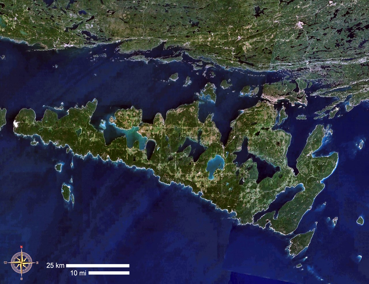
| Description |
Manitoulin Island, Ontario, Canada |
|---|---|
| Source |
NASA WorldWind |
| Date | |
| Author | |
| Permission (Reusing this image) |
see below |
| This image is in the public domain because it is a screenshot from NASA’s globe software World Wind using Blue Marble, Landsat or USGS layer, all of which are in public domain. |
|
Historique du fichier
Cliquer sur une date et une heure pour voir le fichier tel qu’il était à ce moment-là
| Date et heure | Dimensions | Utilisateur | Commentaire | |
|---|---|---|---|---|
| actuel | 5 septembre 2006 à 16:36 | 1 280×986 (282 Kio) | P199 | ({{Information |Description= Manitoulin Island, Ontario, Canada |Source= NASA WorldWind |Date= |Author= |Permission= |other_versions= }}) |
Pages contenant l’image
La page ci-dessous contient cette image :

