Image:Location of Daxing'anling Prefecture within Heilongjiang (China).png
Un article de Wikipédia, l'encyclopédie libre.
Taille de cet aperçu : 694 × 599 pixels
Image en plus haute résolution (880 × 760 pixels, taille du fichier : 102 Kio, type MIME : image/png)
| | Ce fichier provient de Wikimedia Commons?. Les informations le concernant sont affichées ci-dessous (procédure). |
[edit] Summary
| Description |
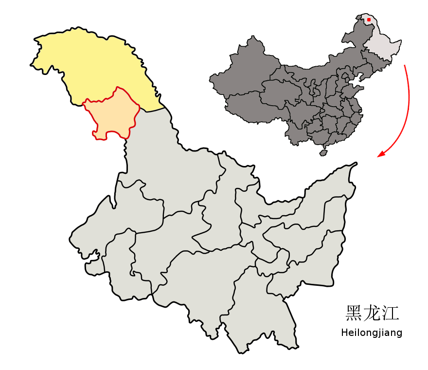
Location of Daxing'anling Prefecture (yellow) within Heilongjiang Province of China. This map includes Jiagedaqi and Songling Districts (light salmon) under Heilongjiang administration, although these territories nominally belong to Inner Mongolia. Map drawn in november 2007 using various sources, mainly : |
|---|---|
| Source |
own work |
| Date |
November 19 2007 |
| Author | |
| Permission (Reusing this image) |
see below |
[edit] Licensing
|
Historique du fichier
Cliquer sur une date et une heure pour voir le fichier tel qu’il était à ce moment-là
| Date et heure | Dimensions | Utilisateur | Commentaire | |
|---|---|---|---|---|
| actuel | 21 novembre 2007 à 22:17 | 880×760 (102 Kio) | Croquant | (removed flaw) |
| 21 novembre 2007 à 17:49 | 880×760 (102 Kio) | Croquant | ||
| 19 novembre 2007 à 21:16 | 880×760 (100 Kio) | Croquant | (== Summary == {{Information |Description=Location of Daxing'anling Prefecture (yellow) within Heilongjiang Province of China Map drawn in november 2007 using various sources, mainly : * [http://sedac.ciesin.org/china/admin/bnd90/t2390.html Heilongjiang P) |
Pages contenant l’image
Les pages ci-dessous contiennent cette image :


.png)
.png)