Image:LocationIndia.png
Un article de Wikipédia, l'encyclopédie libre.
Taille de cet aperçu : 800 × 352 pixels
Image en plus haute résolution (1 427 × 628 pixels, taille du fichier : 103 Kio, type MIME : image/png)
| | Ce fichier provient de Wikimedia Commons?. Les informations le concernant sont affichées ci-dessous (procédure). |
[edit] Summary
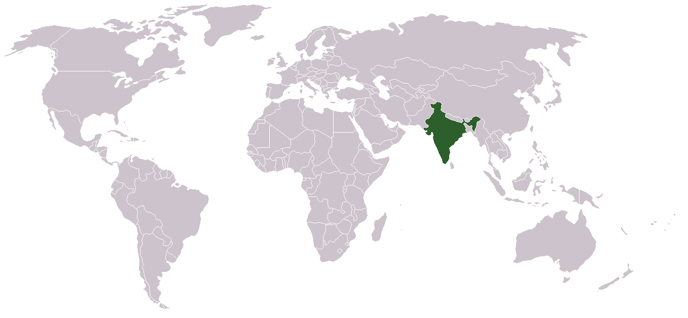
Location map for w:India.
User:dbenbenn modified Image:BlankMap-World.png.
[edit] Licensing
| This image has been (or is hereby) released into the public domain by its author, Vardion at the English Wikipedia project. This applies worldwide. In case this is not legally possible: |
Historique du fichier
Cliquer sur une date et une heure pour voir le fichier tel qu’il était à ce moment-là
| Date et heure | Dimensions | Utilisateur | Commentaire | |
|---|---|---|---|---|
| actuel | 1 mai 2008 à 05:16 | 1 427×628 (103 Kio) | KAVO | ((Changed to colours more noticeable: *Light green - Claimed by India, not administered by India **(Aksai Chin, Azad Kashmir, Northern Areas, Shaksgam Valley) *Deep Green - Disputed with other nations, administered by India **(Arunachal Pradesh, Jammu and ) |
| 3 juin 2005 à 11:17 | 1 357×628 (24 Kio) | Nichalp | (NPOV map, please discuss any changes with me for NPOV status) | |
| 13 février 2005 à 00:39 | 1 357×628 (21 Kio) | Dbenbenn | (higher resolution version, without black border) | |
| 5 décembre 2004 à 22:28 | 250×115 (18 Kio) | EugeneZelenko | (Location map for India.<br/>Originally created for English Wikipedia by Vardion.<br/>{{GFDL}}) |
Pages contenant l’image
Les pages ci-dessous contiennent cette image :

