Image:Limpopo watershed topo.png
Un article de Wikipédia, l'encyclopédie libre.
Taille de cet aperçu : 800 × 570 pixels
Image en plus haute résolution (1 150 × 820 pixels, taille du fichier : 591 Kio, type MIME : image/png)
| | Ce fichier provient de Wikimedia Commons?. Les informations le concernant sont affichées ci-dessous (procédure). |
[edit] Summary
| Description |
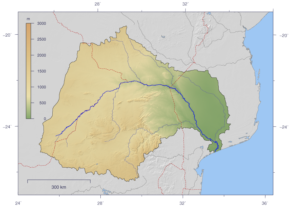
English: Course and Watershed of the Limpopo River with topography shading and political boundaries.
Deutsch: Verlauf und Einzugsgebiet des Limpopo mit Reliefschattierung und Staatsgrenzen.
|
||
|---|---|---|---|
| Source |
The map has been created with the Generic Mapping Tools: http://gmt.soest.hawaii.edu/ using additional public comain data from the VMAP0 data set. |
||
| Date |
2007-02-25 |
||
| Author | |||
| Permission (Reusing this image) |
|
||
| Other versions | Image:Limpopo_watershed_plain.png |
[edit] Licensing
|
Historique du fichier
Cliquer sur une date et une heure pour voir le fichier tel qu’il était à ce moment-là
| Date et heure | Dimensions | Utilisateur | Commentaire | |
|---|---|---|---|---|
| actuel | 25 février 2007 à 17:10 | 1 150×820 (591 Kio) | Imagico | ({{Information |Description= {{en|Course and Watershed of the Limpopo River with topography shading and political boundaries.}} {{de|Verlauf und Einzugsgebiet des Limpopo mit Reliefschattierung und Staatsgrenzen.}} |Source=The map has been created with the) |
Pages contenant l’image
La page ci-dessous contient cette image :

