Image:Large Houston Landsat.jpg
Un article de Wikipédia, l'encyclopédie libre.
Taille de cet aperçu : 694 × 600 pixels
Image en plus haute résolution (978 × 845 pixels, taille du fichier : 180 Kio, type MIME : image/jpeg)
| | Ce fichier provient de Wikimedia Commons?. Les informations le concernant sont affichées ci-dessous (procédure). |
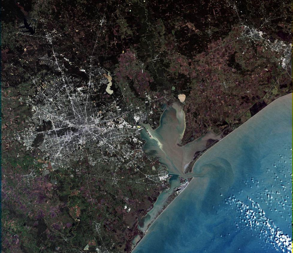
Larger Houston Landsat
From http://landsat.usgs.gov/gallery/detail/370/
| This image is in the public domain because it contains materials that originally came from the United States Geological Survey, an agency of the United States Department of Interior. For more information, see the official USGS copyright policy |
|
Historique du fichier
Cliquer sur une date et une heure pour voir le fichier tel qu’il était à ce moment-là
| Date et heure | Dimensions | Utilisateur | Commentaire | |
|---|---|---|---|---|
| actuel | 7 avril 2006 à 17:20 | 978×845 (180 Kio) | SCEhardt | (full res version) |
| 29 mai 2005 à 10:00 | 694×600 (129 Kio) | Urban | (Larger Houston Landsat From http://landsat.usgs.gov/gallery/detail/370/ {{PD-USGov-Interior-USGS}} From : http://en.wikipedia.org/wiki/Image:Large_Houston_Landsat.jpg ) |
Pages contenant l’image
Les pages ci-dessous contiennent cette image :

