Image:Khartoum 32.53706E 15.60754N.jpg
Un article de Wikipédia, l'encyclopédie libre.
Taille de cet aperçu : 800 × 599 pixels
Image en plus haute résolution (1 280 × 958 pixels, taille du fichier : 205 Kio, type MIME : image/jpeg)
| | Ce fichier provient de Wikimedia Commons?. Les informations le concernant sont affichées ci-dessous (procédure). |
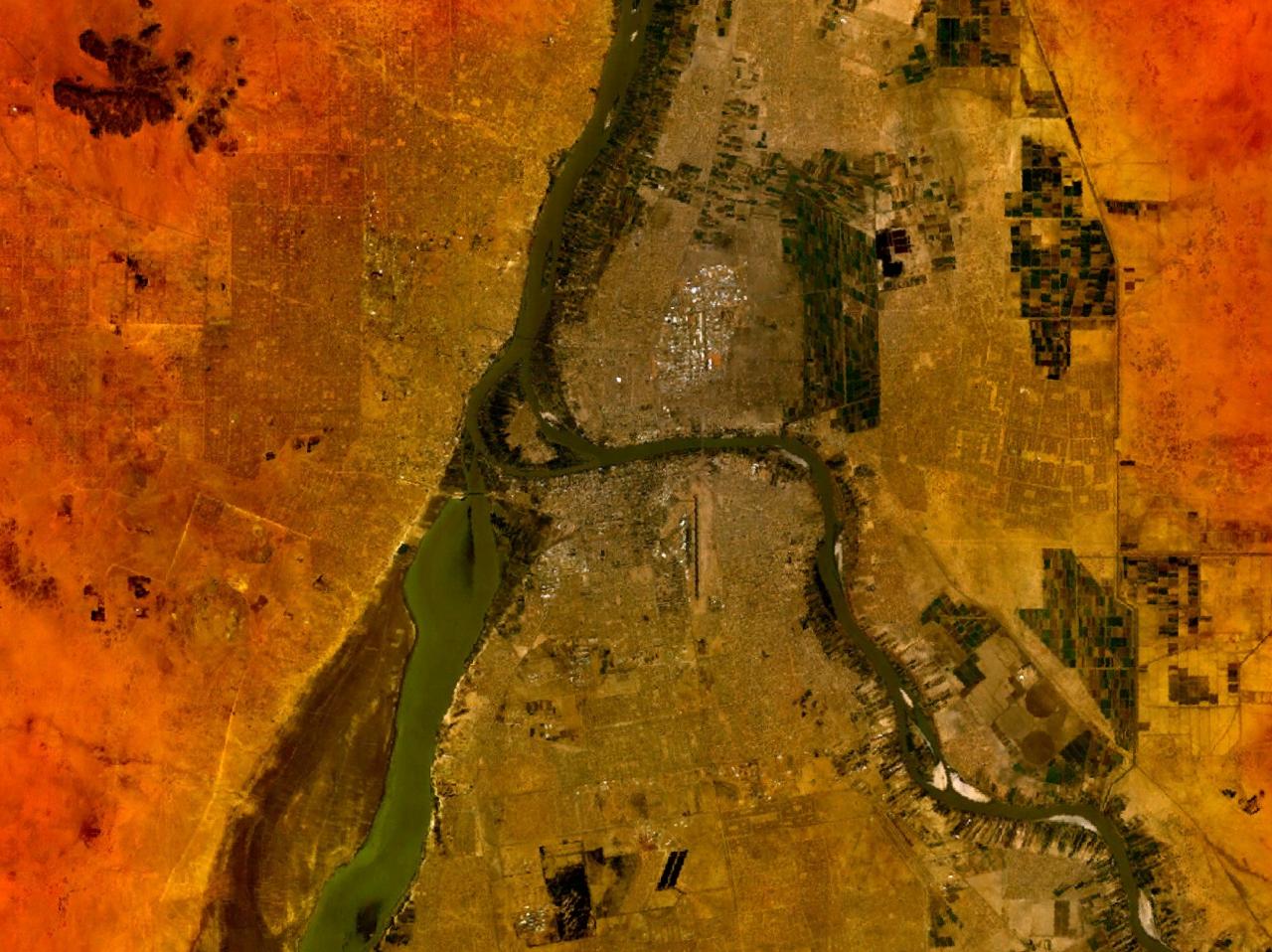
Deutsch: Die Städte Omdurman (links), Bahri (oben rechts) und Khartum (unten rechts) getrennt durch den Nil.
English: The cities Omdurman (left), Bahri (top right) and Khartoum (bottom right) divided through the Nile river.
[edit] Summary
NASA World Wind screenshot.
[edit] Licensing
| This image is in the public domain because it is a screenshot from NASA’s globe software World Wind using Blue Marble, Landsat or USGS layer, all of which are in public domain. |
|
Historique du fichier
Cliquer sur une date et une heure pour voir le fichier tel qu’il était à ce moment-là
| Date et heure | Dimensions | Utilisateur | Commentaire | |
|---|---|---|---|---|
| actuel | 15 mai 2005 à 12:49 | 1 280×958 (205 Kio) | Rex | (NASA World Wind screenshot. {{PD-USGov-NASA}} Category:Maps of Sudan) |
Pages contenant l’image
La page ci-dessous contient cette image :

