Image:Interstate 94 map.png
Un article de Wikipédia, l'encyclopédie libre.
Taille de cet aperçu : 800 × 450 pixels
Image en plus haute résolution (2 205 × 1 239 pixels, taille du fichier : 127 Kio, type MIME : image/png)
| | Ce fichier provient de Wikimedia Commons?. Les informations le concernant sont affichées ci-dessous (procédure). |
| Description |
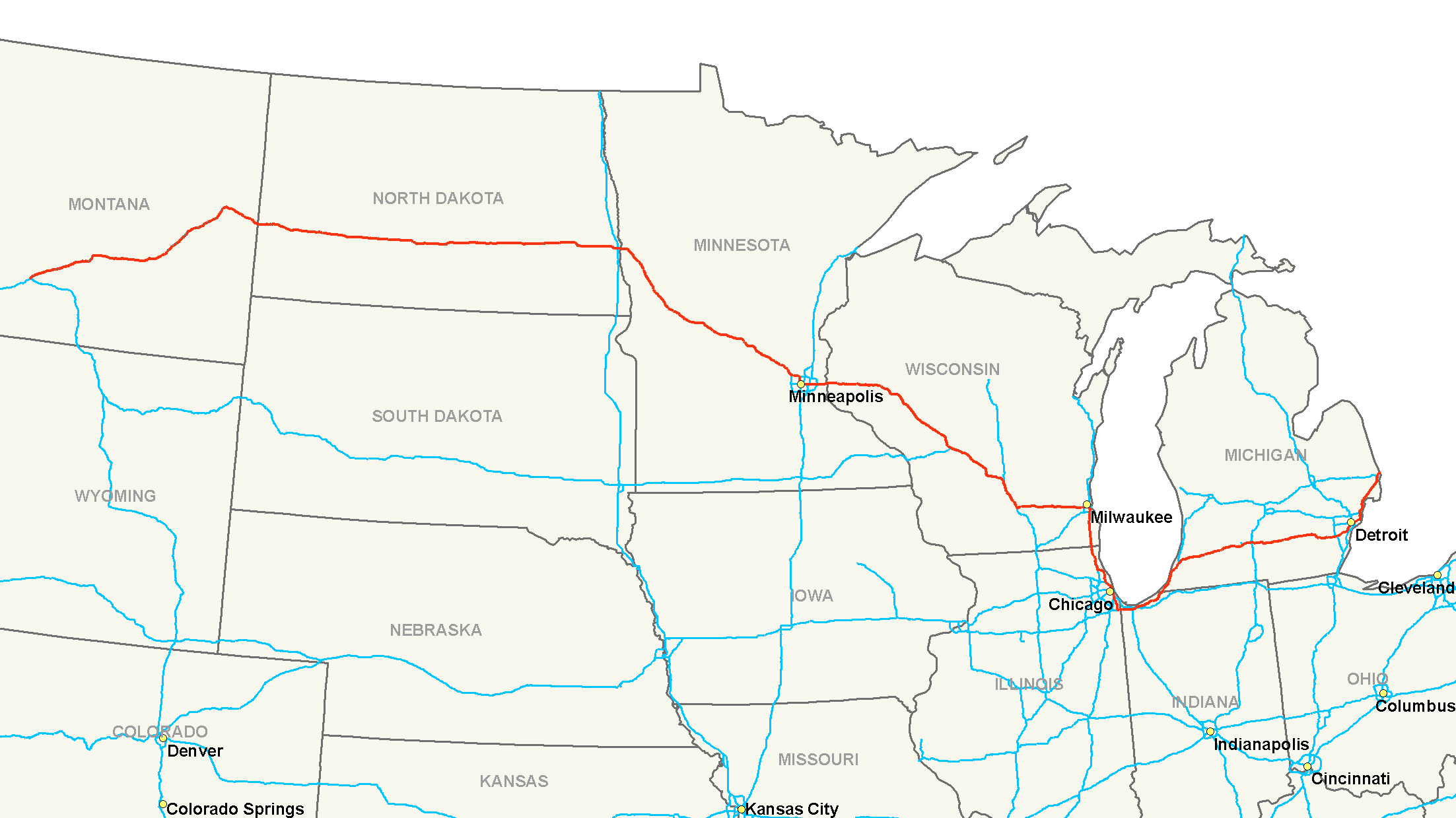
Map of Interstate 94 |
|---|---|
| Source |
Own Work |
| Date |
July 15, 2006 |
| Author | |
| Permission (Reusing this image) |
Own work, all rights released (Public domain) |
|

Historique du fichier
Cliquer sur une date et une heure pour voir le fichier tel qu’il était à ce moment-là
| Date et heure | Dimensions | Utilisateur | Commentaire | |
|---|---|---|---|---|
| actuel | 16 juillet 2006 à 07:17 | 2 205×1 239 (127 Kio) | Stratosphere | ({{Information| |Description=Map of Interstate 94 |Source=Own Work |Date=July 15, 2006 |Author=Nick Nolte |Permission=Own work, all rights released (Public domain) |other_versions= }} {{PD-self}} Category:U.S. Interstate Maps[) |
Pages contenant l’image
La page ci-dessous contient cette image :

