Image:Greece prefectures map dark.PNG
Un article de Wikipédia, l'encyclopédie libre.
Taille de cet aperçu : 685 × 599 pixels
Image en plus haute résolution (800 × 700 pixels, taille du fichier : 27 Kio, type MIME : image/png)
| | Ce fichier provient de Wikimedia Commons?. Les informations le concernant sont affichées ci-dessous (procédure). |
[edit] Summary
| Description |
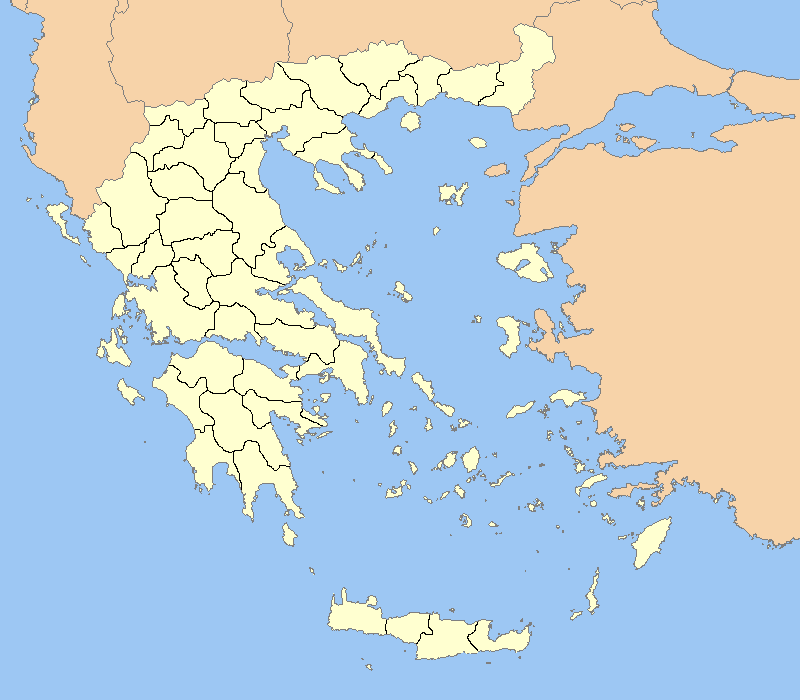
This is Sparta located at the marked point. |
||
|---|---|---|---|
| Source |
Greece outline map.png |
||
| Date |
2/12/2007 |
||
| Author |
ChrisO/El_Greco |
||
| Permission (Reusing this image) |
|
||
| Other versions | Adapted from Image:Greece outline map.png |
[edit] Licensing
| I, the copyright holder of this work, hereby release it into the public domain. This applies worldwide. In case this is not legally possible: Afrikaans | Alemannisch | Aragonés | العربية | Asturianu | Български | Català | Česky | Cymraeg | Dansk | Deutsch | Eʋegbe | Ελληνικά | English | Español | Esperanto | Euskara | Estremeñu | فارسی | Français | Galego | 한국어 | हिन्दी | Hrvatski | Ido | Bahasa Indonesia | Íslenska | Italiano | עברית | Kurdî / كوردی | Latina | Lietuvių | Latviešu | Magyar | Македонски | Bahasa Melayu | Nederlands | Norsk (bokmål) | Norsk (nynorsk) | 日本語 | Polski | Português | Ripoarisch | Română | Русский | Shqip | Slovenčina | Slovenščina | Српски / Srpski | Svenska | ไทย | Tagalog | Türkçe | Українська | Tiếng Việt | Walon | 中文(简体) | 中文(繁體) | zh-yue-hant | +/- |
Historique du fichier
Cliquer sur une date et une heure pour voir le fichier tel qu’il était à ce moment-là
| Date et heure | Dimensions | Utilisateur | Commentaire | |
|---|---|---|---|---|
| actuel | 12 février 2007 à 16:12 | 800×700 (27 Kio) | El Spartan | ({{Information |Description= Outline map of the prefectures of Greece with a dark outline |Source=Greece outline map.png |Date=2/12/2007 |Author=ChrisO/El_Greco |Permission={{PD-Self}} |other_versions=Adapted from Image:Greece outline map.png }} ) |
Pages contenant l’image
Les pages ci-dessous contiennent cette image :

