Image:Federal subjects of Russia (by number).png
Un article de Wikipédia, l'encyclopédie libre.
Pas de plus haute résolution disponible.
Federal_subjects_of_Russia_(by_number).png (794 × 492 pixels, taille du fichier : 33 Kio, type MIME : image/png)
| | Ce fichier provient de Wikimedia Commons?. Les informations le concernant sont affichées ci-dessous (procédure). |
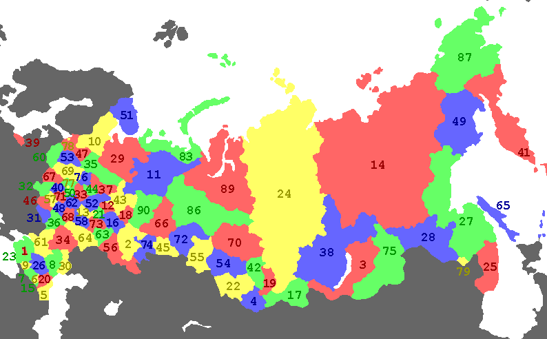
Administrative map of the Russian Federation
 A vector version of this image (SVG) is available. For more information about vector graphics, read about Commons transition to SVG. Български | Deutsch | English | Español | Français | Galego | עברית | Magyar | Bahasa Indonesia | Italiano | 日本語 | 한국어 | Lietuvių | Polski | Português | Русский | Српски / Srpski | Українська | 中文(简体) | 中文(繁體) | +/- |
 |

Originally created by Vl. Medeiko (ru:User:Drbug), then fixed by en:User:Kpalion
Historique du fichier
Cliquer sur une date et une heure pour voir le fichier tel qu’il était à ce moment-là
| Date et heure | Dimensions | Utilisateur | Commentaire | |
|---|---|---|---|---|
| actuel | 1 mars 2008 à 14:23 | 794×492 (33 Kio) | Legnaw | (Chita Oblast' and Aginsk Buryat Autonomous Okrug to merge and form Zabaykalskiy Kray on 1 March 2008 if approved in March 2007 ) |
| 1 janvier 2008 à 15:55 | 794×492 (26 Kio) | Nightstallion | (ust-orda buryatia is gone) | |
| 1 juillet 2007 à 01:43 | 794×492 (18 Kio) | Fremantleboy | (update: merging kamtchatka ) | |
| 31 janvier 2007 à 20:12 | 800×500 (23 Kio) | Nightstallion | (update) | |
| 1 janvier 2007 à 20:43 | 800×500 (14 Kio) | Conscious | (update as of today) | |
| 4 novembre 2006 à 22:02 | 800×500 (15 Kio) | Nightstallion | (Reverted to earlier revision) | |
| 5 octobre 2006 à 07:40 | 800×500 (15 Kio) | Foobaz | (decreased saturation to look better) | |
| 7 septembre 2006 à 22:39 | 800×500 (15 Kio) | Conscious | (Ryazan Oblast was missing, fixing) | |
| 1 décembre 2005 à 21:32 | 800×500 (24 Kio) | Nightstallion | (Administrative map of the Russian Federation {{GFDL}} Originally created by Vl. Medeiko (ru:User:Drbug), then fixed by en:User:Kpalion ) |
Pages contenant l’image
Les pages ci-dessous contiennent cette image :


.png)
.png)
.png)
.png)
.png)
.png)
.png)
.png)