Image:Cordillera Cantabrica.jpg
Un article de Wikipédia, l'encyclopédie libre.
Taille de cet aperçu : 789 × 600 pixels
Image en plus haute résolution (1 000 × 760 pixels, taille du fichier : 175 Kio, type MIME : image/jpeg)
| | Ce fichier provient de Wikimedia Commons?. Les informations le concernant sont affichées ci-dessous (procédure). |
| Description |
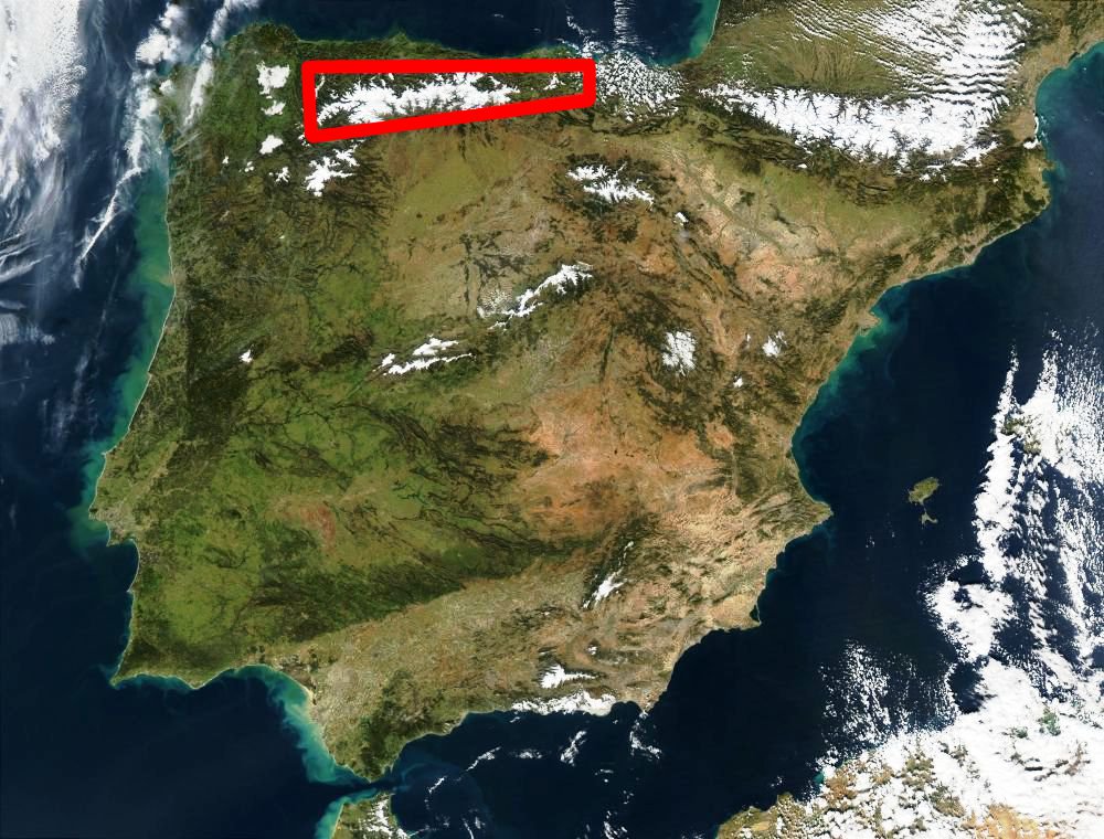
Español: El recuadro rojo señala la Cordillera Cantábrica. Imagen satelital de España de enero de 2003.
English: The red box indicates the Cantabrian Mountain Range. Satellite image of Spain in January 2003.
|
|---|---|
| Source | |
| Date |
2003-01-27 |
| Author |
Jacques Descloitres, MODIS Rapid Response Team, NASA/GSFC edited by: Tony Rotondas |
| Permission (Reusing this image) |
see below |
|
|
This file is in the public domain because it was created by NASA. NASA copyright policy states that "NASA material is not protected by copyright unless noted". (NASA copyright policy page or JPL Image Use Policy).
Deutsch | English | Español | Français | Nederlands | Português | Русский | 中文(简体) | 中文(繁體) | +/- |
|
 |
Warnings:
|
Historique du fichier
Cliquer sur une date et une heure pour voir le fichier tel qu’il était à ce moment-là
| Date et heure | Dimensions | Utilisateur | Commentaire | |
|---|---|---|---|---|
| actuel | 8 août 2005 à 15:49 | 1 000×760 (175 Kio) | Tony Rotondas |
Pages contenant l’image
La page ci-dessous contient cette image :

