Image:Cleveland Ohio aerial view.jpg
Un article de Wikipédia, l'encyclopédie libre.
Taille de cet aperçu : 800 × 534 pixels
Image en plus haute résolution (1 500 × 1 001 pixels, taille du fichier : 680 Kio, type MIME : image/jpeg)
| | Ce fichier provient de Wikimedia Commons?. Les informations le concernant sont affichées ci-dessous (procédure). |
| Description |
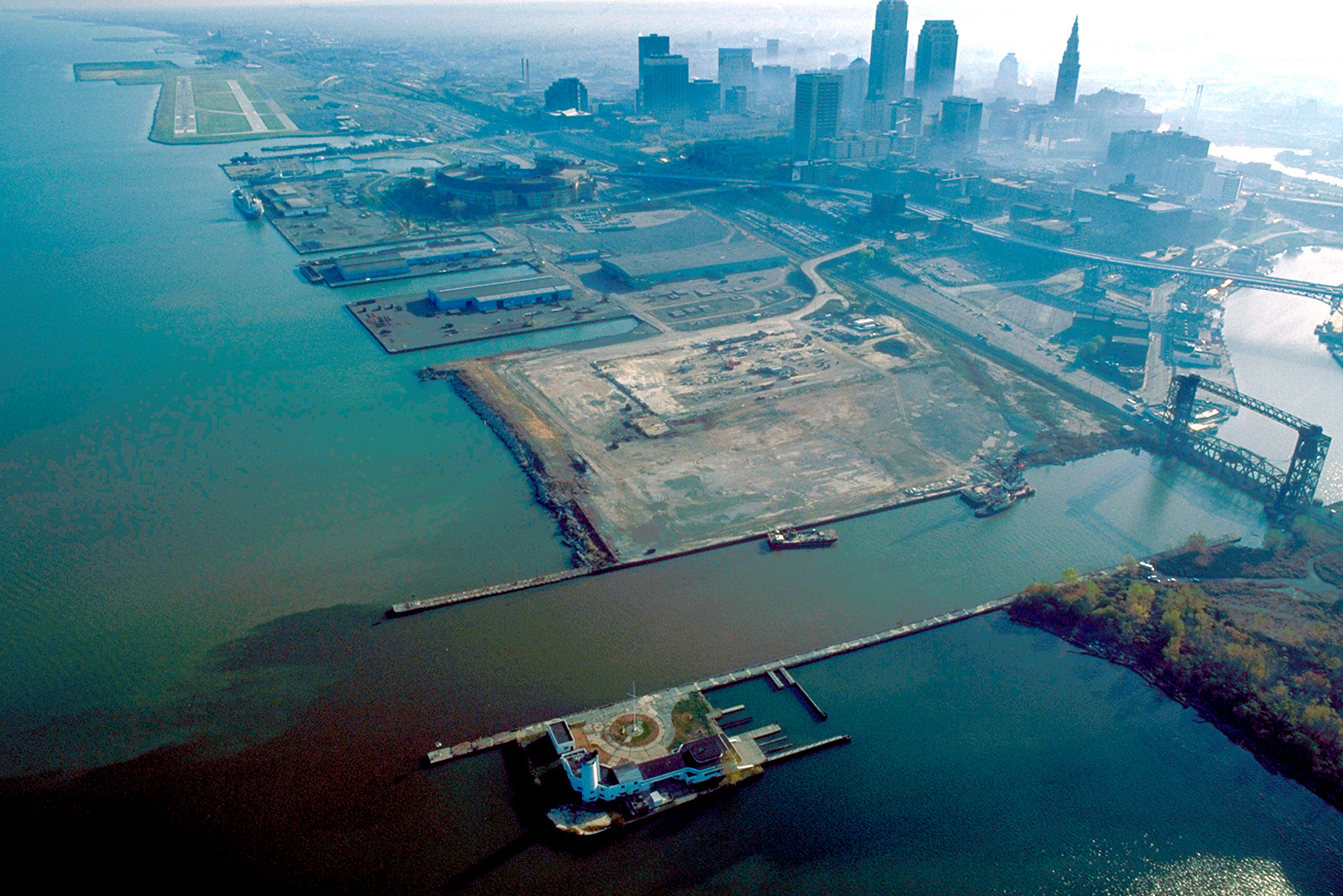
English: Aerial view of Cleveland, Ohio, USA, on the shores of Lake Erie. The mouth of the Cuyahoga River is visible in the foreground and Cleveland's Burke-Lakefront Airport is visible in the top left of the picture. View is to the northeast
|
|||
|---|---|---|---|---|
| Source |
U.S. Army Corps of Engineers Digital Visual Library |
|||
| Date |
October 1, 1992 |
|||
| Author |
Ken Winters, U.S. Army Corps of Engineers |
|||
| Permission (Reusing this image) |
|
| Camera location | This and other geocoded Commons images: | (Info) |
|---|
Historique du fichier
Cliquer sur une date et une heure pour voir le fichier tel qu’il était à ce moment-là
| Date et heure | Dimensions | Utilisateur | Commentaire | |
|---|---|---|---|---|
| actuel | 25 mars 2007 à 03:58 | 1 500×1 001 (680 Kio) | DanMS | ({{Information | Description = {{en|Aerial view of Cleveland, Ohio, USA, on the shores of Lake Erie. The mouth of the Cuyahoga River is visible in the foreground and Cleveland Airport is visible in the top left of the picture. View is to the northeast}}) |
Pages contenant l’image
La page ci-dessous contient cette image :

