Image:Chukchi Sea map.png
Un article de Wikipédia, l'encyclopédie libre.
Taille de cet aperçu : 800 × 448 pixels
Image en plus haute résolution (1 200 × 672 pixels, taille du fichier : 100 Kio, type MIME : image/png)
| | Ce fichier provient de Wikimedia Commons?. Les informations le concernant sont affichées ci-dessous (procédure). |
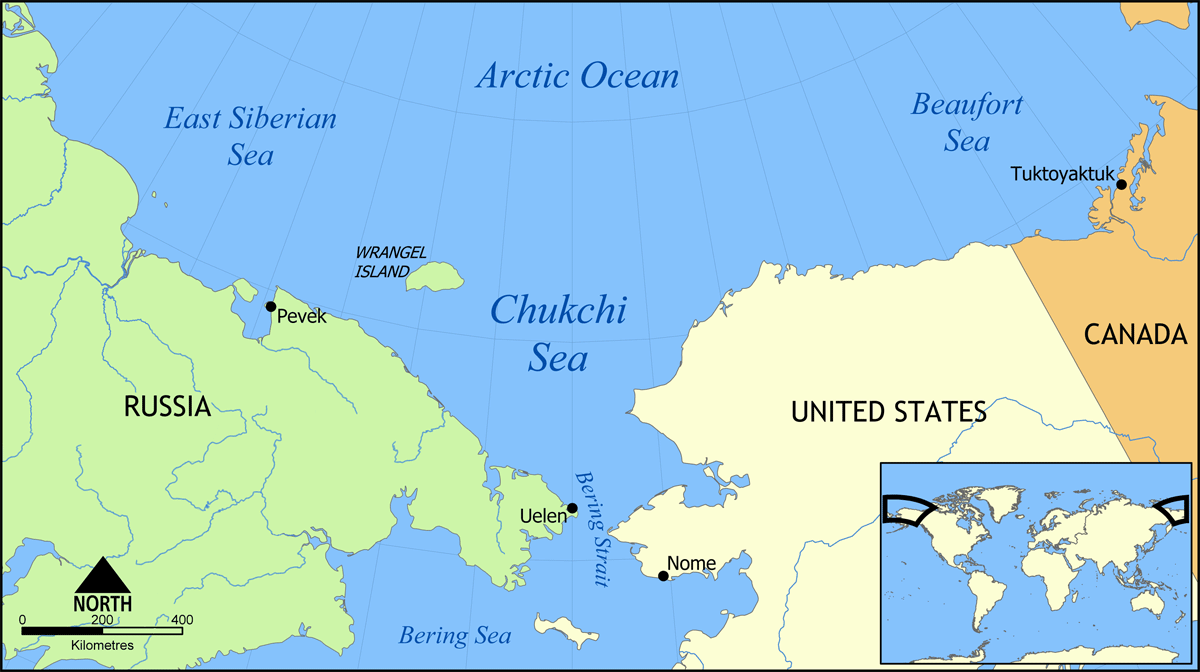
Map showing the Chukchi Sea, north of the Bering Strait and Sea, between Russia and the United States.
Created by NormanEinstein, May 31, 2006.
See also Image:Chukchi Sea map-fr.svg

Historique du fichier
Cliquer sur une date et une heure pour voir le fichier tel qu’il était à ce moment-là
| Date et heure | Dimensions | Utilisateur | Commentaire | |
|---|---|---|---|---|
| actuel | 31 mai 2006 à 16:33 | 1 200×672 (100 Kio) | NormanEinstein | (Map showing the Chukchi Sea, north of the Bering Strait and Sea, between Russia and the United States. Created by NormanEinstein, May 31, 2006. {{GFDL-self}} Category:Maps of seas) |
Pages contenant l’image
La page ci-dessous contient cette image :

