Image:Camargue map.png
Un article de Wikipédia, l'encyclopédie libre.
Pas de plus haute résolution disponible.
Camargue_map.png (720 × 398 pixels, taille du fichier : 41 Kio, type MIME : image/png)
| | Ce fichier provient de Wikimedia Commons?. Les informations le concernant sont affichées ci-dessous (procédure). |
[edit] Summary
| Description | ||||
|---|---|---|---|---|
| Source |
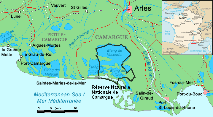
Combination of CIA World Factbook map (Image:Fr-map.png) and Demis Map Server (http://www2.demis.nl/mapserver/mapper.asp) data with additional annotations and modifications by self. |
|||
| Date |
16 August 2006 |
|||
| Author | ||||
| Permission (Reusing this image) |
|

Historique du fichier
Cliquer sur une date et une heure pour voir le fichier tel qu’il était à ce moment-là
| Date et heure | Dimensions | Utilisateur | Commentaire | |
|---|---|---|---|---|
| actuel | 16 août 2006 à 22:52 | 720×398 (41 Kio) | ChrisO | (Map of the Camargue region, southern France By ~~~, derived from open source mapping) |
| 16 août 2006 à 22:46 | 720×398 (40 Kio) | ChrisO | (Map of the Camargue region, southern France By ~~~, derived from open source mapping) |
Pages contenant l’image
Les pages ci-dessous contiennent cette image :

