Image:Bass Islands map.png
Un article de Wikipédia, l'encyclopédie libre.
Taille de cet aperçu : 484 × 599 pixels
Image en plus haute résolution (800 × 990 pixels, taille du fichier : 261 Kio, type MIME : image/png)
| | Ce fichier provient de Wikimedia Commons?. Les informations le concernant sont affichées ci-dessous (procédure). |
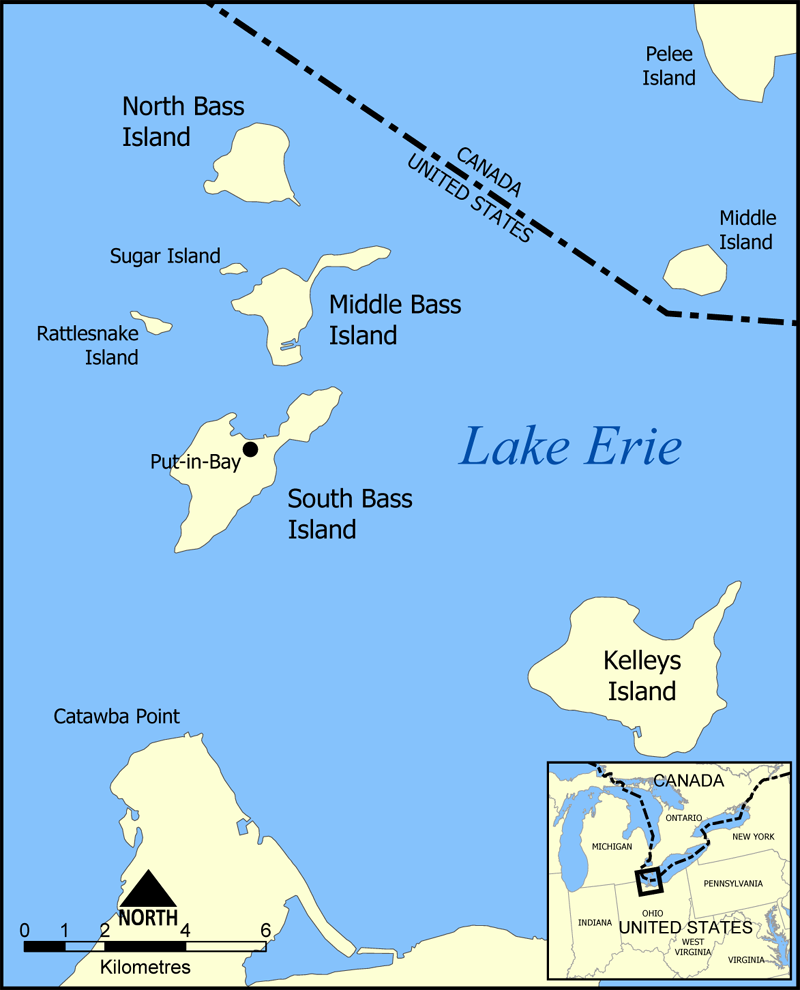
This is a map of the Bass Islands in Lake Erie. The three main islands are South Bass Island, Middle Bass Island, and North Bass Island. As well, the map shows the nearby Kelleys Island, Sugar Island, Rattlesnake Island, and Middle Island.
Created by NormanEinstein, June 23, 2005.

Historique du fichier
Cliquer sur une date et une heure pour voir le fichier tel qu’il était à ce moment-là
| Date et heure | Dimensions | Utilisateur | Commentaire | |
|---|---|---|---|---|
| actuel | 23 juin 2005 à 18:32 | 800×990 (261 Kio) | NormanEinstein | (Corrected boundary line problem.) |
| 23 juin 2005 à 17:04 | 800×990 (262 Kio) | NormanEinstein | (This is a map of the Bass Islands in Lake Erie. The three main islands are South Bass Island, Middle Bass Island, and North Bass Island. As well, the map shows the nearby Kelleys Island, Sugar Island, Rattlesnake Island, and Middle Island. Created by Nor) |
Pages contenant l’image
La page ci-dessous contient cette image :

