Image:Yazoo River control structure.jpg
Un article de Wikipédia, l'encyclopédie libre.
Taille de cet aperçu : 800 × 533 pixels
Image en plus haute résolution (1 500 × 1 000 pixels, taille du fichier : 345 Kio, type MIME : image/jpeg)
| | Ce fichier provient de Wikimedia Commons?. Les informations le concernant sont affichées ci-dessous (procédure). |
| Description |
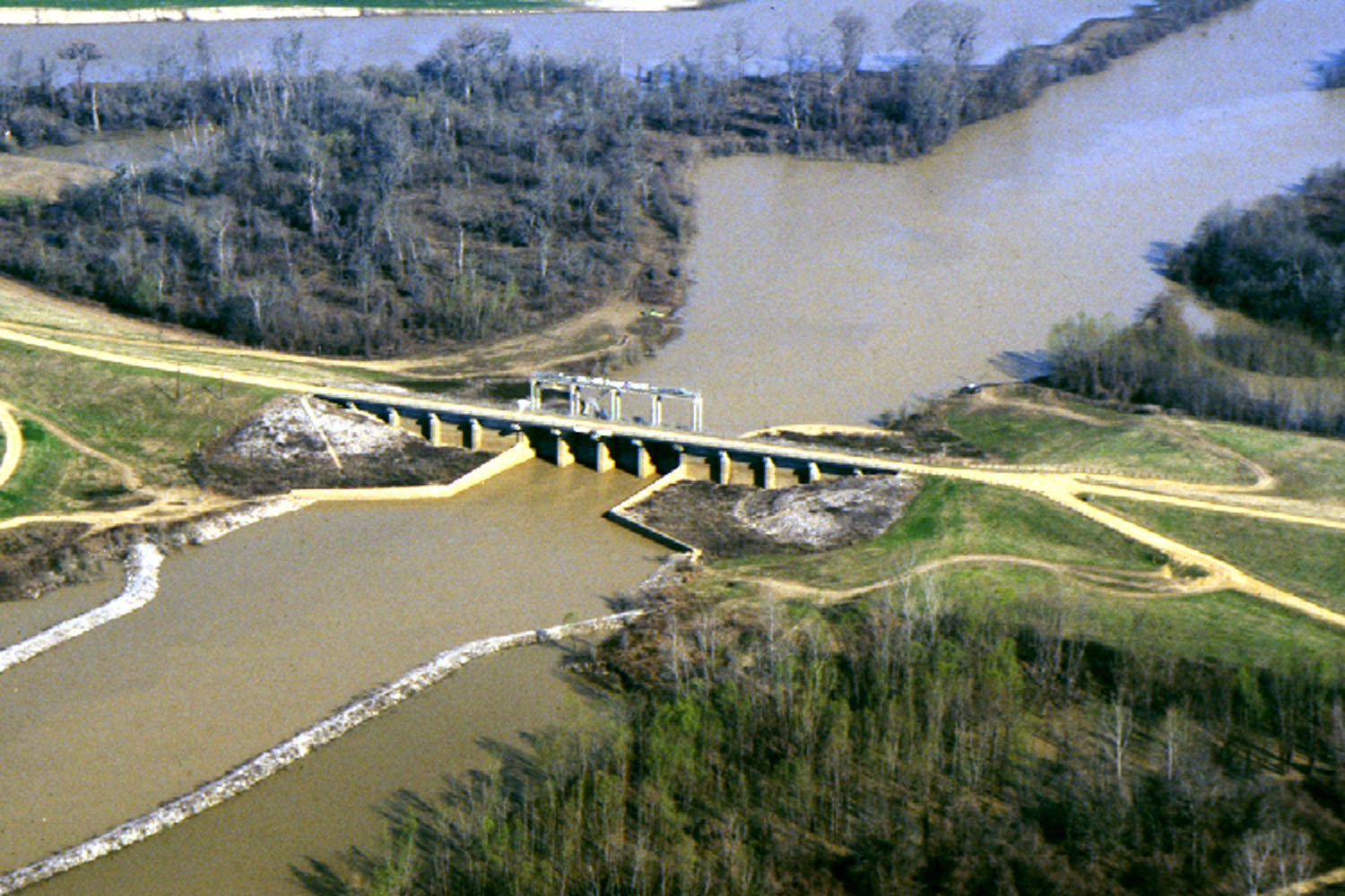
English: One of many control structures used to control flooding and the flow of water in the low-lying Yazoo River Basin in Mississippi, USA.
|
|||
|---|---|---|---|---|
| Source |
U.S. Army Corps of Engineers Digital Visual Library |
|||
| Date |
not specified or unknown |
|||
| Author |
Alfred Dulaney, U.S. Army Corps of Engineers |
|||
| Permission (Reusing this image) |
|
Historique du fichier
Cliquer sur une date et une heure pour voir le fichier tel qu’il était à ce moment-là
| Date et heure | Dimensions | Utilisateur | Commentaire | |
|---|---|---|---|---|
| actuel | 7 avril 2007 à 18:48 | 1 500×1 000 (345 Kio) | DanMS | ({{Information | Description = {{en|One of many control structures used to control flooding and the flow of water in the low-lying Yazoo River Basin in Mississippi, USA.}} | Source = U.S. Army Corps of Engineers Digital Visual Library<br />[http) |
Pages contenant l’image
La page ci-dessous contient cette image :

