Image:Washington-Baltimore-Northern Virginia CSA, 2005.png
Un article de Wikipédia, l'encyclopédie libre.
Taille de cet aperçu : 800 × 599 pixels
Image en plus haute résolution (953 × 713 pixels, taille du fichier : 130 Kio, type MIME : image/png)
| | Ce fichier provient de Wikimedia Commons?. Les informations le concernant sont affichées ci-dessous (procédure). |
| Description |
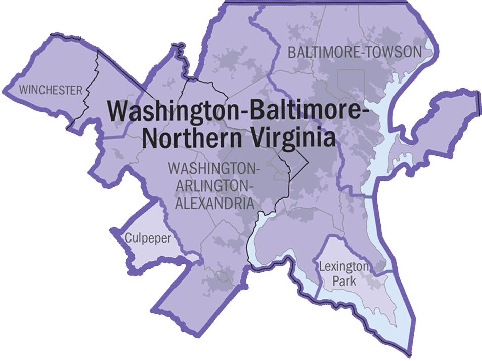
2005 Washington-Baltimore-Northern Virginia Combined Statistical Area. |
|||
|---|---|---|---|---|
| Source |
http://www.census.gov/geo/www/maps/msa_maps2005/us_wall_1205.html |
|||
| Date |
2005 |
|||
| Author |
N/A |
|||
| Permission (Reusing this image) |
|

Historique du fichier
Cliquer sur une date et une heure pour voir le fichier tel qu’il était à ce moment-là
| Date et heure | Dimensions | Utilisateur | Commentaire | |
|---|---|---|---|---|
| actuel | 5 juillet 2006 à 22:49 | 953×713 (130 Kio) | Tom | (transparency) |
| 5 juillet 2006 à 22:44 | 953×713 (129 Kio) | Tom | ({{Information |Description=2005 Washington-Baltimore-Northern Virginia Combined Statistical Area. |Source=http://www.census.gov/geo/www/maps/msa_maps2005/us_wall_1205.html |Date=2005 |Author=N/A |Permission={{P) |
Pages contenant l’image
La page ci-dessous contient cette image :

