Image:USACE Perdido Bay.jpg
Un article de Wikipédia, l'encyclopédie libre.
Taille de cet aperçu : 800 × 575 pixels
Image en plus haute résolution (1 500 × 1 079 pixels, taille du fichier : 438 Kio, type MIME : image/jpeg)
| | Ce fichier provient de Wikimedia Commons?. Les informations le concernant sont affichées ci-dessous (procédure). |
| Description |
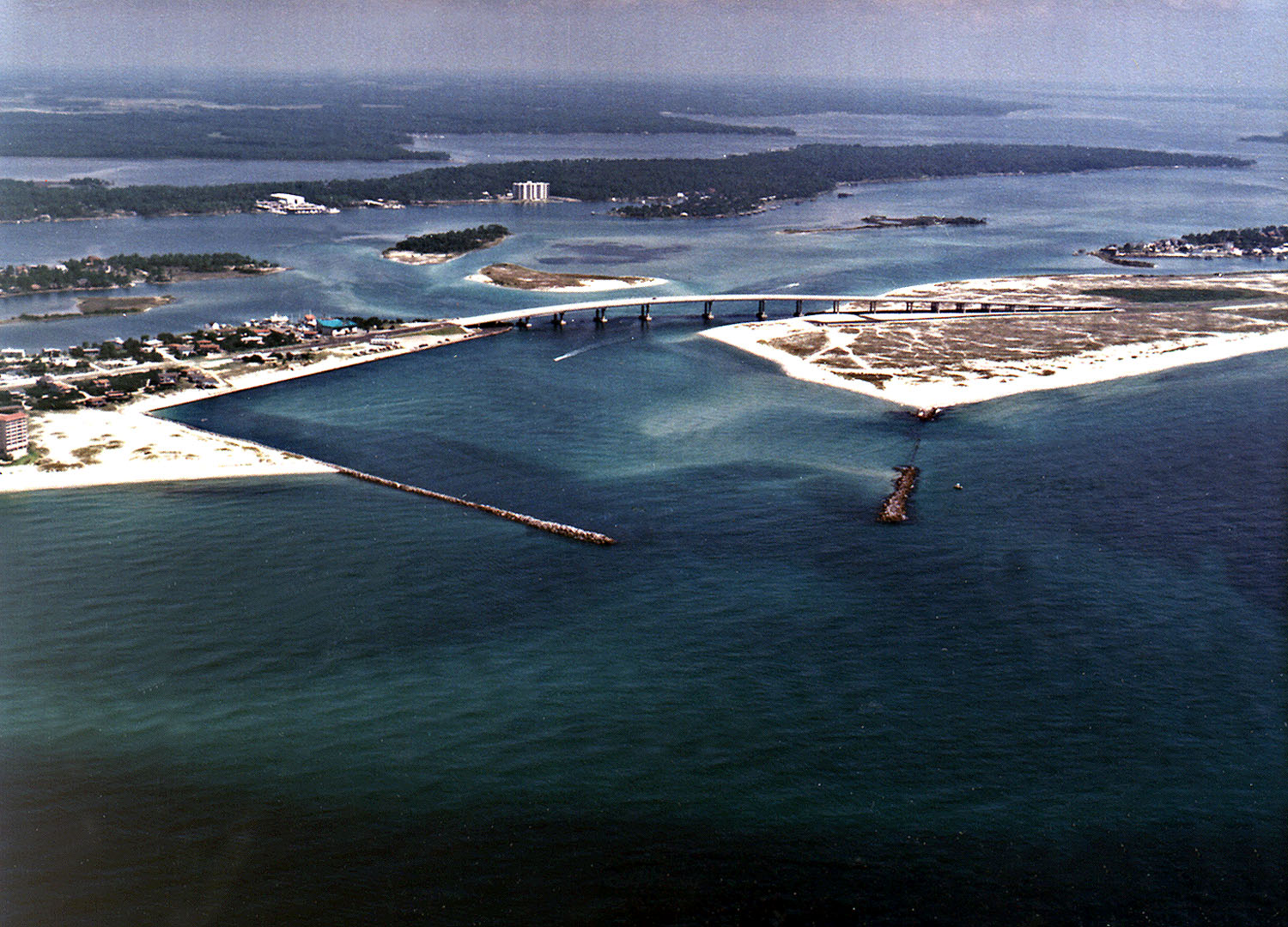
English: Perdido Pass, the mouth of the Perdido River and Perdido Bay on the Gulf of Mexico at Orange Beach, Alabama, USA. Alabama State Route 182 crosses the inlet. The image description on the USACE source page has misidentified the highway on the bridge as U.S. Route 98.
|
|||
|---|---|---|---|---|
| Source |
U.S. Army Corp of Engineers Digital Visual Library |
|||
| Date |
not specified |
|||
| Location | Orange Beach, Alabama, USA 30°16′40.96″N, 87°33′18.72″W |
|||
| Author |
Adrien Lamarre, U.S. Army Corps of Engineers |
|||
| Permission |
|
|||
| Other versions of this file |
Historique du fichier
Cliquer sur une date et une heure pour voir le fichier tel qu’il était à ce moment-là
| Date et heure | Dimensions | Utilisateur | Commentaire | |
|---|---|---|---|---|
| actuel | 14 mars 2007 à 06:35 | 1 500×1 079 (438 Kio) | DanMS | ({{Information | Description = Perdido Pass, the mouth of the Perdido River and Perdido Bay on the Gulf of Mexico at Orange Beach, Alabama, USA. Alabama State Route 182 crosses the inlet. The image description on the USACE source page has misidentified the) |
Pages contenant l’image
La page ci-dessous contient cette image :

