Image:USACE Claiborne Lock and Dam.jpg
Un article de Wikipédia, l'encyclopédie libre.
Taille de cet aperçu : 800 × 523 pixels
Image en plus haute résolution (1 685 × 1 102 pixels, taille du fichier : 428 Kio, type MIME : image/jpeg)
| | Ce fichier provient de Wikimedia Commons?. Les informations le concernant sont affichées ci-dessous (procédure). |
| Description |
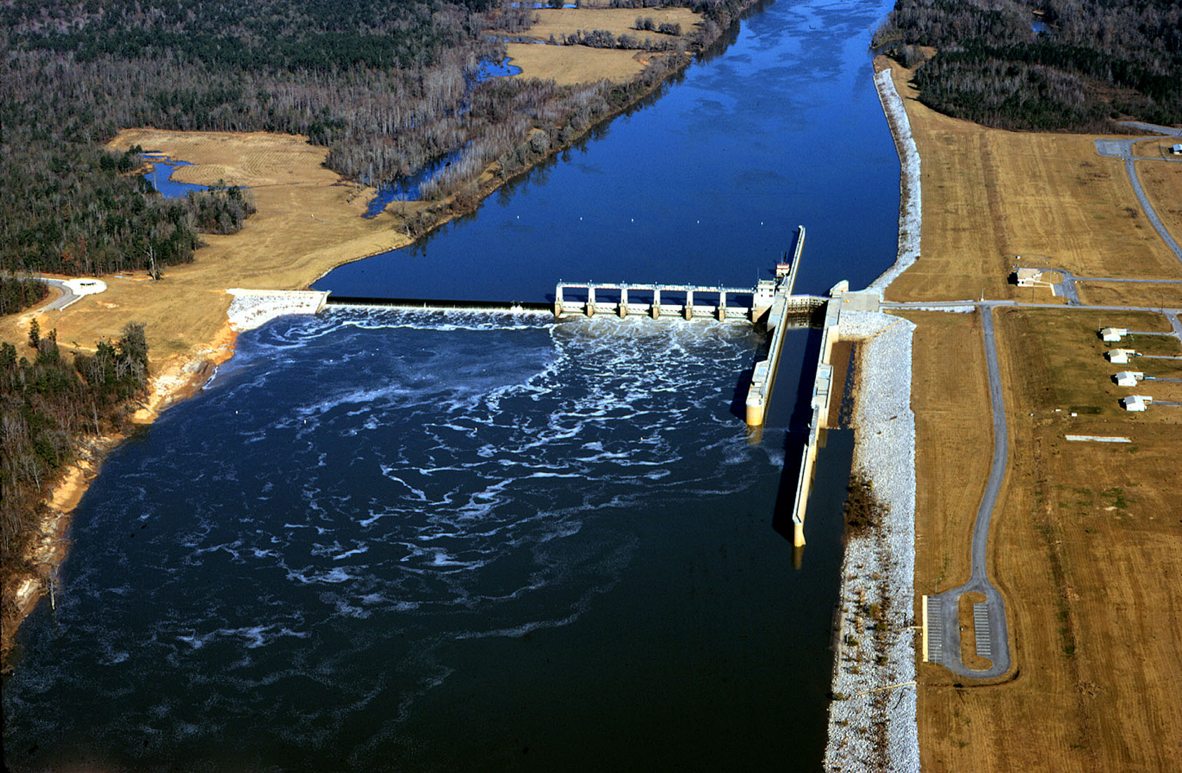
English: Aerial view of Claiborne Lock and Dam on the Alabama River in Monroe County, Alabama, USA. The dam is located approximately 5 miles (8 km) upriver from Claiborne, Alabama. The U.S. Army Corps of Engineers maintains the lock and dam for barge navigation on the river. View is upriver to the north.
Coordinates: 31°36′53.92″N, 87°33′2.8″W |
|||
|---|---|---|---|---|
| Source |
U.S. Army Corps of Engineers Digital Visual Library |
|||
| Date |
1993 |
|||
| Author |
Adrien Lamarre, U.S. Army Corps of Engineers |
|||
| Permission (Reusing this image) |
|
Historique du fichier
Cliquer sur une date et une heure pour voir le fichier tel qu’il était à ce moment-là
| Date et heure | Dimensions | Utilisateur | Commentaire | |
|---|---|---|---|---|
| actuel | 28 avril 2007 à 22:19 | 1 685×1 102 (428 Kio) | DanMS | ({{Information | Description = {{en|Aerial view of Claiborne Lock and Dam on the Alabama River in Monroe County, Alabama, USA. The dam is located approximately 5 miles (8 km) upriver from Claiborne, Alabama. The U.S. Army Corps of Engineers maintains th) |
Pages contenant l’image
Les pages ci-dessous contiennent cette image :

