Image:US map-Deep South.png
Un article de Wikipédia, l'encyclopédie libre.
Pas de plus haute résolution disponible.
US_map-Deep_South.png (572 × 371 pixels, taille du fichier : 16 Kio, type MIME : image/png)
| | Ce fichier provient de Wikimedia Commons?. Les informations le concernant sont affichées ci-dessous (procédure). |
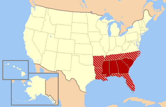
| Description |
The maps series from the English wikipedia's Wikiproject: United States regions. The maps attempt to show, the various definitions of the regions without endorsing one over another. |
|---|---|
| Source | |
| Date |
2004—2006 |
| Author |
various, edited by Jay Carriker |
| Permission (Reusing this image) |
GFDL content from English Wikipedia |
 |
Permission is granted to copy, distribute and/or modify this document under the terms of the GNU Free Documentation License, Version 1.2 or any later version published by the Free Software Foundation; with no Invariant Sections, no Front-Cover Texts, and no Back-Cover Texts. Subject to disclaimers. Asturianu | Български | Català | Deutsch | English | Español | Français | Gaeilge | Italiano | 한국어 | 日本語 | Polski | Português | Română | Türkçe | +/- |
Historique du fichier
Cliquer sur une date et une heure pour voir le fichier tel qu’il était à ce moment-là
| Date et heure | Dimensions | Utilisateur | Commentaire | |
|---|---|---|---|---|
| actuel | 17 décembre 2006 à 22:34 | 572×371 (16 Kio) | JCarriker | ({{Information |Description=The maps series from the English wikipedia's Wikiproject: United States regions. The maps attempt to show, the various definitions of the regions without endorsing one over another. |Source=[[en.WikiProject: United States regio) |
Pages contenant l’image
La page ci-dessous contient cette image :

