Image:Snake watershed.png
Un article de Wikipédia, l'encyclopédie libre.
Pas de plus haute résolution disponible.
Snake_watershed.png (189 × 190 pixels, taille du fichier : 15 Kio, type MIME : image/png)
| | Ce fichier provient de Wikimedia Commons?. Les informations le concernant sont affichées ci-dessous (procédure). |
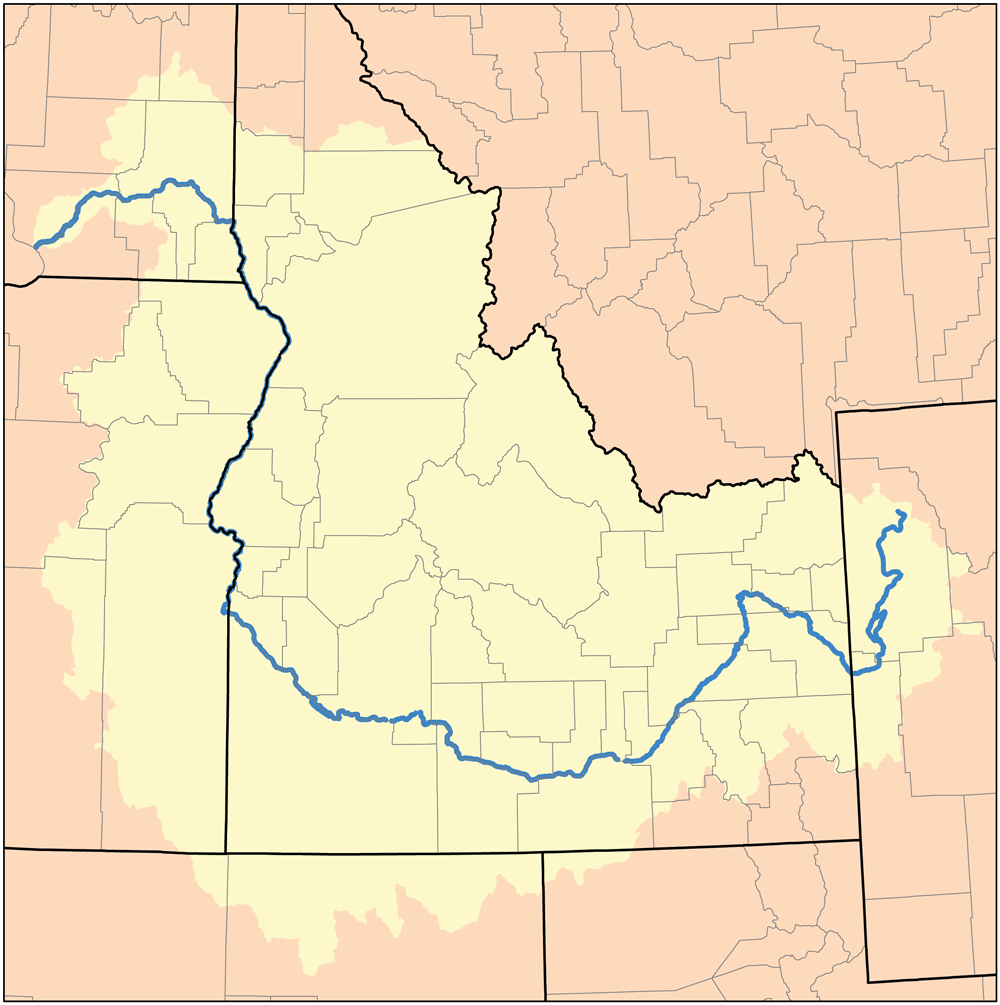
This is a map of the Snake River Watershed. I, Karl Musser, created it based on USGS data.
|
Historique du fichier
Cliquer sur une date et une heure pour voir le fichier tel qu’il était à ce moment-là
| Date et heure | Dimensions | Utilisateur | Commentaire | |
|---|---|---|---|---|
| actuel | 6 mai 2007 à 00:36 | 189×190 (15 Kio) | DanMS | (Trimmed excess white space around image and uploaded same again.) |
| 16 novembre 2005 à 21:00 | 200×200 (15 Kio) | Kmusser | ||
| 8 septembre 2005 à 17:31 | 200×200 (36 Kio) | Kmusser | ||
| 9 août 2005 à 14:38 | 200×200 (17 Kio) | Kmusser | (This is a map of the Tennessee River Watershed. I, Karl Musser, created it based on USGS data. {{GFDL}} Category:Maps of rivers) |
Pages contenant l’image
La page ci-dessous contient cette image :

