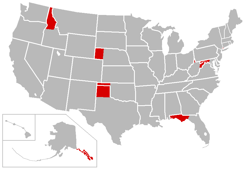
Image:PanhandleMap-USA-states.png
Un article de Wikipédia, l'encyclopédie libre.
Taille de cet aperçu : 800 × 552 pixels
Image en plus haute résolution (841 × 580 pixels, taille du fichier : 28 Kio, type MIME : image/png)
| | Ce fichier provient de Wikimedia Commons?. Les informations le concernant sont affichées ci-dessous (procédure). |
| Description | |
|---|---|
| Source |
Transferred from en.wikipedia; Transfer was stated to be made by User:TCY. |
| Date |
2008-03-05 (original upload date) |
| Author |
Original uploader was Porsche997SBS at en.wikipedia |
| Permission (Reusing this image) |
Released into the public domain (by the author). |
[edit] License information
| This image has been (or is hereby) released into the public domain by its author, Porsche997SBS at the wikipedia project. This applies worldwide. In case this is not legally possible: |
[edit] Original upload log
The original description page is/was here. All following user names refer to en.wikipedia.
Historique du fichier
Cliquer sur une date et une heure pour voir le fichier tel qu’il était à ce moment-là
| Date et heure | Dimensions | Utilisateur | Commentaire | |
|---|---|---|---|---|
| actuel | 22 mars 2008 à 00:51 | 841×580 (28 Kio) | File Upload Bot (Magnus Manske) | ( {{BotMoveToCommons|en.wikipedia}} {{Information |Description={{en|derived from [http://en.wikipedia.org/wiki/Image:BlankMap-USA-states.PNG Image:BlankMap-USA-states.PNG]; map of states with en:panhandle}} |Source=Transferred from [http://en.wikipedi) |
Pages contenant l’image
La page ci-dessous contient cette image :

