Image:Nauru land utilization-fr.png
Un article de Wikipédia, l'encyclopédie libre.
Taille de cet aperçu : 553 × 599 pixels
Image en plus haute résolution (2 343 × 2 540 pixels, taille du fichier : 2,41 Mio, type MIME : image/png)
| | Ce fichier provient de Wikimedia Commons?. Les informations le concernant sont affichées ci-dessous (procédure). |
| Description |
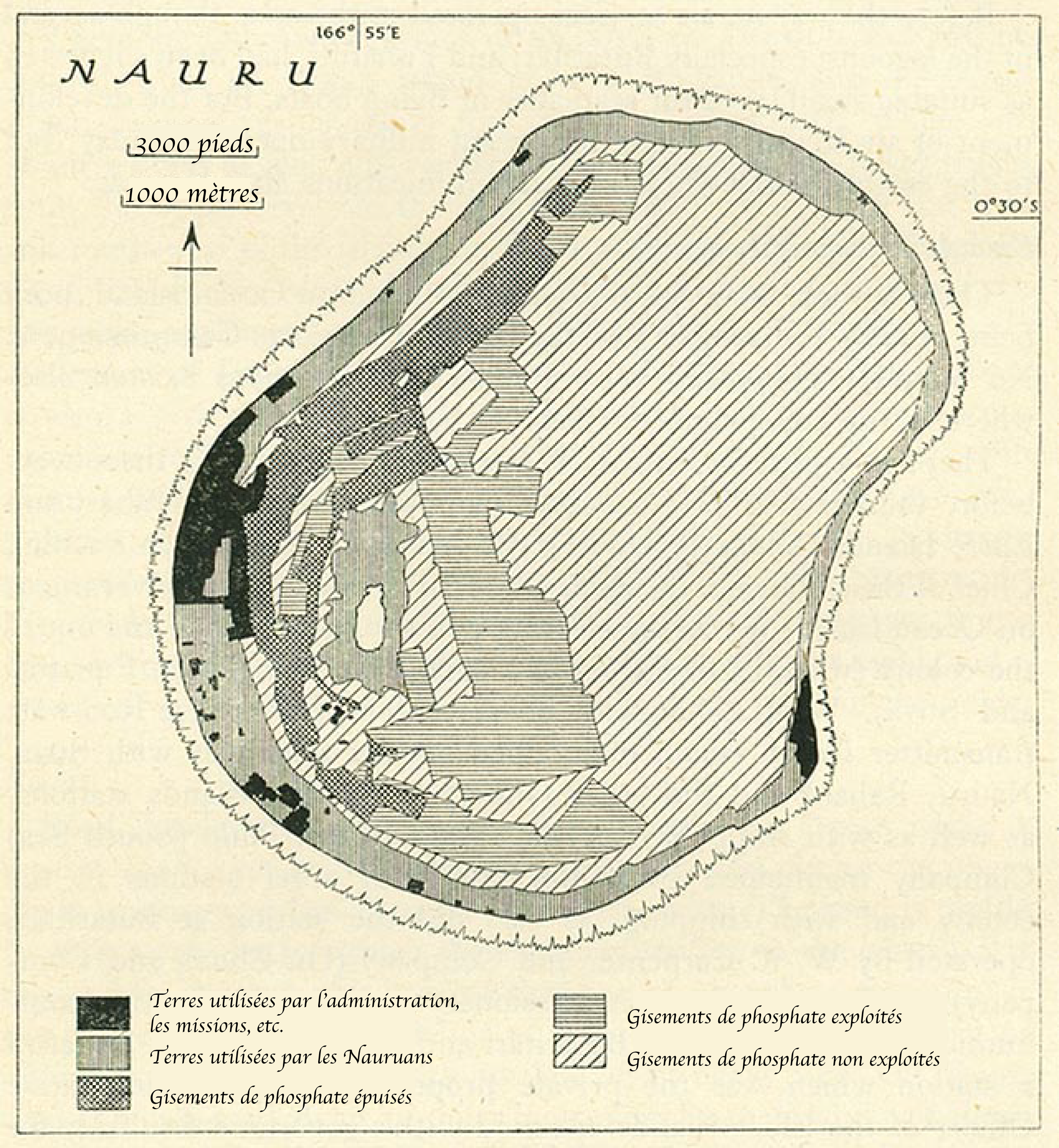
Nauru land utilization |
||
|---|---|---|---|
| Source |
http://www.lib.utexas.edu/maps/historical/pacific_islands_1943_1945/nauru_land_utilization.jpg |
||
| Date | |||
| Author |
translated in french by Kimdime69 |
||
| Permission (Reusing this image) |
|
 |
This map image should be recreated using vector graphics as an SVG file. This has several advantages; see Commons:Media for cleanup for more information. If an SVG form of this image is already available, please upload it. After uploading an SVG, replace this template with template {{Vector version available|new image name.svg}} in this image. |
|
العربية | Български | Català | Česky | Dansk | Deutsch | English | Esperanto | Español | Français | 한국어 | Italiano | Magyar | Lietuvių | Nederlands | 日本語 | Polski | Português | Română | Русский | Suomi | Svenska | Türkçe | Українська | Tiếng Việt | मराठी | 中文(繁體) | 中文(简体) | +/- |
|
Historique du fichier
Cliquer sur une date et une heure pour voir le fichier tel qu’il était à ce moment-là
| Date et heure | Dimensions | Utilisateur | Commentaire | |
|---|---|---|---|---|
| actuel | 19 janvier 2007 à 18:58 | 2 343×2 540 (2,41 Mio) | Kimdime69 | (Uploaded from Perrt Castaneda collection http://www.lib.utexas.edu/maps/historical/pacific_islands_1943_1945/nauru_land_utilization.jpg and translated in french by {{u|Kimdime69}} {{PD-PCL}}) |
Pages contenant l’image
Les pages ci-dessous contiennent cette image :

