Image:Map of USA highlighting Georgia.png
Un article de Wikipédia, l'encyclopédie libre.
Pas de plus haute résolution disponible.
Map_of_USA_highlighting_Georgia.png (280 × 183 pixels, taille du fichier : 35 Kio, type MIME : image/png)
| | Ce fichier provient de Wikimedia Commons?. Les informations le concernant sont affichées ci-dessous (procédure). |
From en.wikipedia:
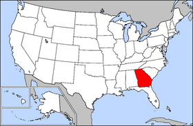
Public domain map courtesy of The General Libraries, The University of Texas at Austin, modified to highlight state boundaries.

Historique du fichier
Cliquer sur une date et une heure pour voir le fichier tel qu’il était à ce moment-là
| Date et heure | Dimensions | Utilisateur | Commentaire | |
|---|---|---|---|---|
| actuel | 4 avril 2005 à 18:32 | 280×183 (35 Kio) | David | (From English wikipedia: Public domain map courtesy of [http://www.lib.utexas.edu/ The General Libraries, The University of Texas at Austin], modified to highlight state boundaries. {{GFDL}} Category:State locator maps of the United States [[Category:) |
Pages contenant l’image
La page ci-dessous contient cette image :

