Image:Map NL - Zijpe - Sint Maartensvlotbrug.png
Un article de Wikipédia, l'encyclopédie libre.
Pas de plus haute résolution disponible.
Map_NL_-_Zijpe_-_Sint_Maartensvlotbrug.png (800 × 600 pixels, taille du fichier : 9 Kio, type MIME : image/png)
| | Ce fichier provient de Wikimedia Commons?. Les informations le concernant sont affichées ci-dessous (procédure). |
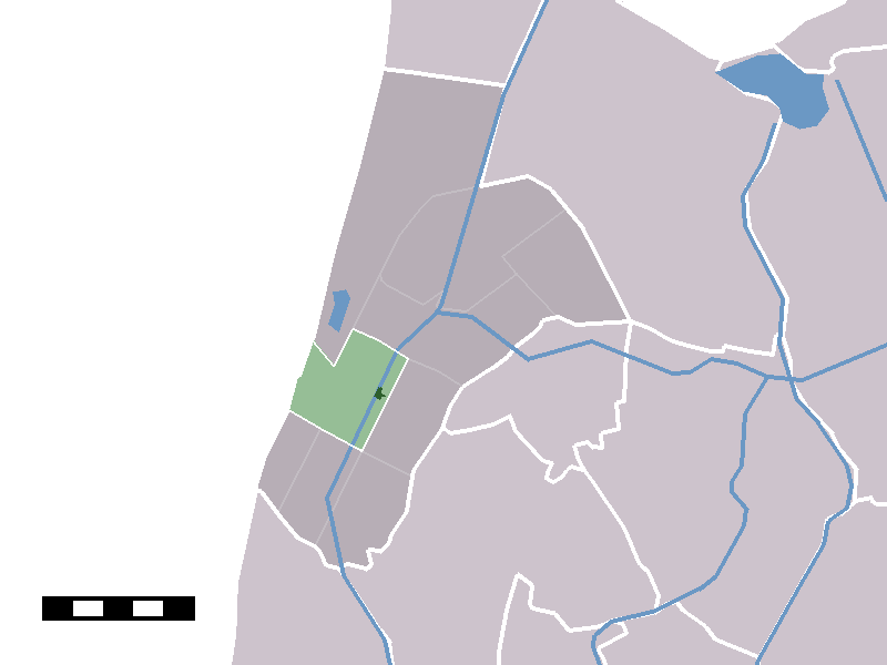
Map of Sint Maartensvlotbrug, municipality of Zijpe, the Netherlands.
 |
The copyright holder of this file, [[:Centraal Bureau voor de Statistiek|Centraal Bureau voor de Statistiek]], allows anyone to use it for any purpose, provided that the copyright holder is properly attributed. Redistribution, derivative work, commercial use, and all other use is permitted.
Aragonés | العربية | Български | Català | Dansk | Deutsch | Ελληνικά | English | Español | Español | Français | עברית | Magyar | Galego | Italiano | 日本語 | 한국어 | Kurdî / كوردی | Latviešu | Nederlands | Norsk (bokmål) | Polski | Português | Svenska | Türkçe | Русский | 中文(简体) | 中文(繁體) | +/- |
Historique du fichier
Cliquer sur une date et une heure pour voir le fichier tel qu’il était à ce moment-là
| Date et heure | Dimensions | Utilisateur | Commentaire | |
|---|---|---|---|---|
| actuel | 11 mars 2006 à 00:07 | 800×600 (9 Kio) | Eugene van der Pijll | |
| 1 mars 2006 à 20:55 | 800×600 (7 Kio) | Eugene van der Pijll | (Map of Sint Maartensvlotbrug, municipality of Zijpe, the Netherlands. * Image by User:Eugene van der Pijll. * Boundaries municipalities and neighbourhoods: © 2003, Centraal Bureau voor de Statistiek/Topografische Dienst Kadaster * Boundary villa) |
Pages contenant l’image
La page ci-dessous contient cette image :

