Image:LocationNorthAmerica.png
Un article de Wikipédia, l'encyclopédie libre.
Taille de cet aperçu : 800 × 407 pixels
Image en plus haute résolution (2 759 × 1 404 pixels, taille du fichier : 43 Kio, type MIME : image/png)
| | Ce fichier provient de Wikimedia Commons?. Les informations le concernant sont affichées ci-dessous (procédure). |
| Description |
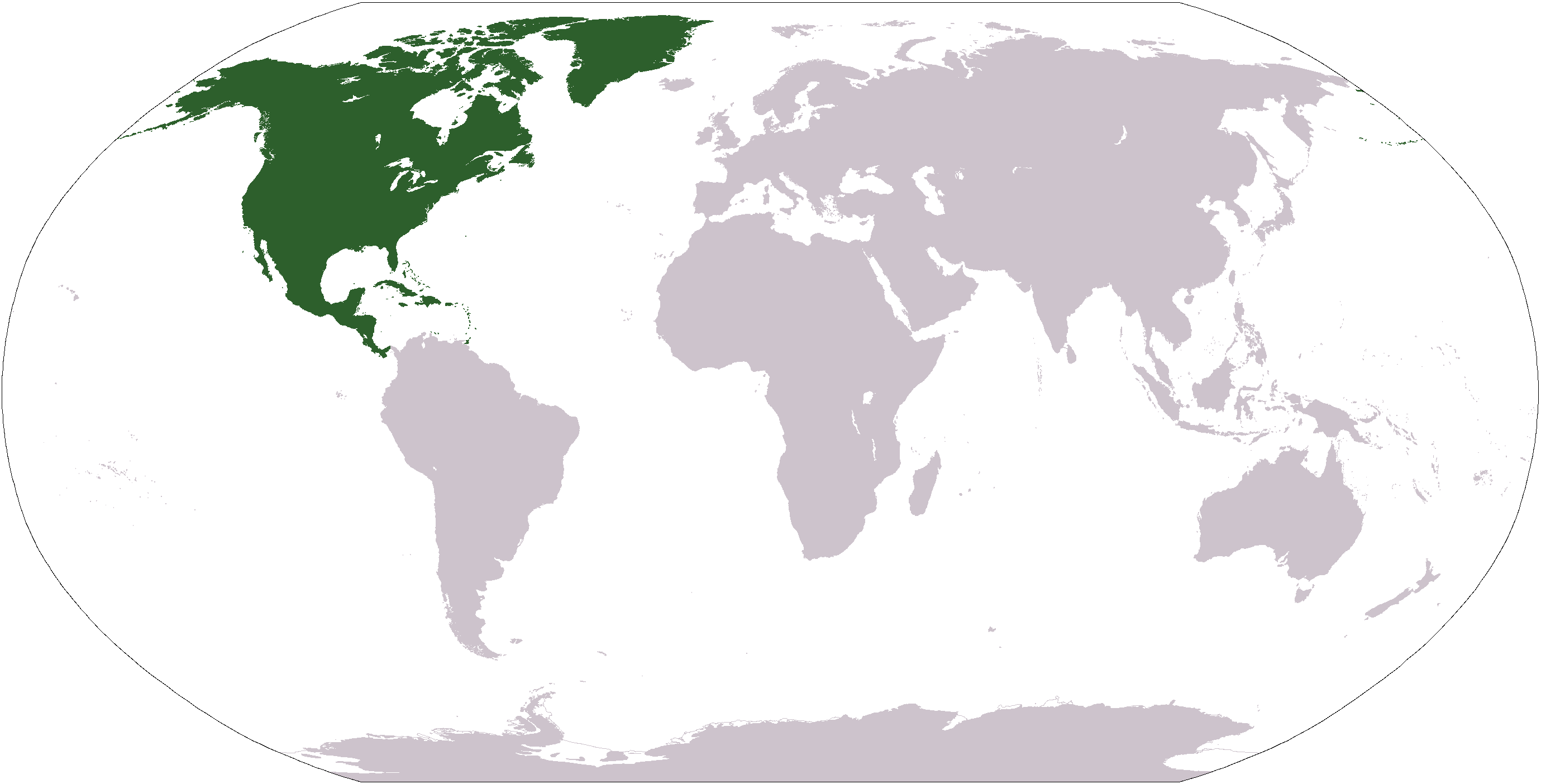
English: World map depicting North America south america europe
|
|---|---|
| Source |
own work - map adapted from PDF world map at CIA World Fact Book |
| Date |
2005.05.27 |
| Author | |
| Permission (Reusing this image) |
see below |
| This image is in the public domain because it contains materials that originally came from the United States Central Intelligence Agency's World Factbook.
Deutsch | English | Español | Français | 日本語 | Nederlands | 한국어 | Português | தமிழ் | Magyar | +/- |
 |
Historique du fichier
Cliquer sur une date et une heure pour voir le fichier tel qu’il était à ce moment-là
| Date et heure | Dimensions | Utilisateur | Commentaire | |
|---|---|---|---|---|
| actuel | 19 janvier 2008 à 14:40 | 2 759×1 404 (43 Kio) | F l a n k e r | (Transparency) |
| 19 juillet 2007 à 04:26 | 2 759×1 404 (43 Kio) | CurranH | (upload new, transparent version) | |
| 10 septembre 2006 à 06:49 | 2 759×1 404 (55 Kio) | Cogito ergo sumo | (World map: North America (location)) | |
| 22 janvier 2006 à 06:40 | 2 759×1 404 (55 Kio) | E Pluribus Anthony | (Reverted to earlier revision) | |
| 16 janvier 2006 à 00:37 | 2 759×1 404 (84 Kio) | Huhsunqu | ||
| 8 octobre 2005 à 03:00 | 2 759×1 404 (55 Kio) | E Pluribus Anthony | (World map: North America (location)) | |
| 27 mai 2005 à 06:11 | 2 759×1 404 (74 Kio) | Dado | (Revised location map to show North America) |
Pages contenant l’image
Les pages ci-dessous contiennent cette image :
- Géographie du Mexique
- Géographie de Cuba
- Géographie du Nicaragua
- Géographie des États-Unis d'Amérique
- Géographie de la République dominicaine
- Géographie du Guatemala
- Géographie du Costa Rica
- Géographie du Honduras
- Géographie du Panamá
- Géographie du Salvador
- Géographie du Canada
- Utilisateur:Booksworm/bookstravel
- Géographie des Bahamas
- Géographie du Belize
- Géographie de Saint-Vincent-et-les Grenadines
- Géographie d'Antigua-et-Barbuda
- Géographie de la Barbade
- Géographie de la Dominique
- Géographie d'Haïti
- Modèle:Géographie de l'Amérique du Nord
- Géographie de la Grenade
- Géographie de Saint-Christophe-et-Niévès
- Géographie de la Jamaïque
- Géographie de l'Amérique du Nord
- Géographie de Sainte-Lucie

