Image:Kotzebue Alaska aerial view.jpg
Un article de Wikipédia, l'encyclopédie libre.
Taille de cet aperçu : 800 × 600 pixels
Image en plus haute résolution (1 500 × 1 125 pixels, taille du fichier : 372 Kio, type MIME : image/jpeg)
| | Ce fichier provient de Wikimedia Commons?. Les informations le concernant sont affichées ci-dessous (procédure). |
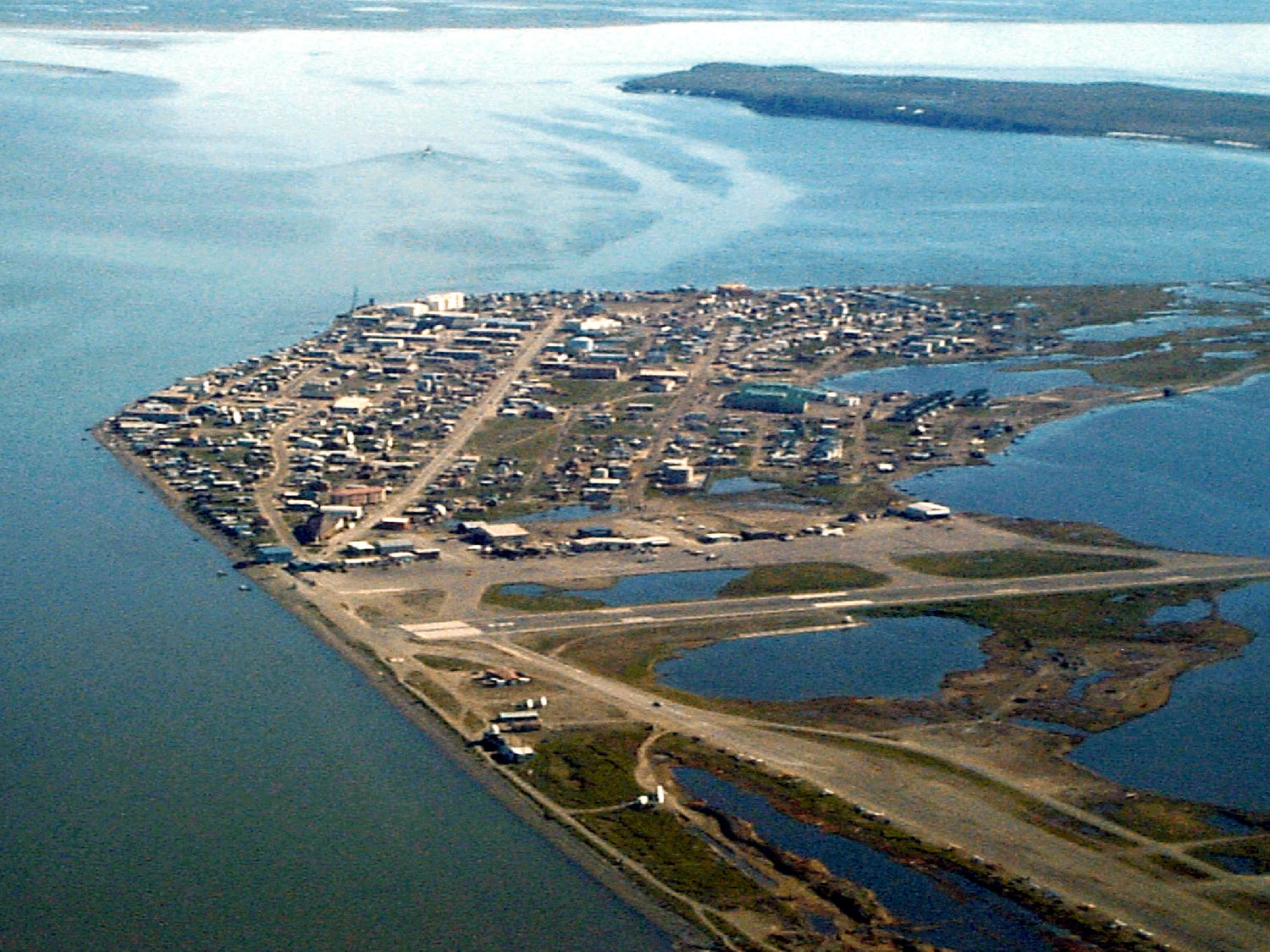
| Description |
English: Aerial view of Kotzebue, Alaska, USA.
|
|||
|---|---|---|---|---|
| Source |
U.S. Army Corps of Engineers Digital Visual Library |
|||
| Date |
1999 |
|||
| Location | Kotzebue, Alaska, USA 66°53′49.97″N, 162°35′8.3″W |
|||
| Author |
U.S. Army Corps of Engineers, photographer not specified or unknown |
|||
| Permission |
|
|||
| Other versions of this file |
Historique du fichier
Cliquer sur une date et une heure pour voir le fichier tel qu’il était à ce moment-là
| Date et heure | Dimensions | Utilisateur | Commentaire | |
|---|---|---|---|---|
| actuel | 21 mars 2007 à 05:42 | 1 500×1 125 (372 Kio) | DanMS | ({{Information | Description = {{en|Aerial view of Kotzebue, Alaska, USA.}} | Source = U.S. Army Corps of Engineers Digital Visual Library<br />[http://images.usace.army.mil/images/Hires/cepoa170.jpg Image page]<br />[http://images.usace.army.mi) |
Pages contenant l’image
La page ci-dessous contient cette image :

