Image:Kansas City satellite map.jpg
Un article de Wikipédia, l'encyclopédie libre.
Taille de cet aperçu : 411 × 599 pixels
Image en plus haute résolution (582 × 848 pixels, taille du fichier : 106 Kio, type MIME : image/jpeg)
| | Ce fichier provient de Wikimedia Commons?. Les informations le concernant sont affichées ci-dessous (procédure). |
| Description |
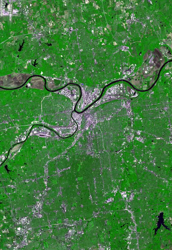
The raw satellite imagery shown in these images was obtain from NASA and/or the US Geological Survey. Post-processing and production by http://www.terraprints.com |
|---|---|
| Source | |
| Date |
20061025 |
| Author | |
| Permission (Reusing this image) |
Attribution 2.5 |
| This file is licensed under Creative Commons Attribution 2.5 License In short: you are free to distribute and modify the file as long as you attribute its author(s) or licensor(s). |
Historique du fichier
Cliquer sur une date et une heure pour voir le fichier tel qu’il était à ce moment-là
| Date et heure | Dimensions | Utilisateur | Commentaire | |
|---|---|---|---|---|
| actuel | 27 avril 2008 à 19:25 | 582×848 (106 Kio) | Finavon | (border cropped) |
| 25 octobre 2006 à 20:35 | 669×1 000 (118 Kio) | Terraprints | ({{Information |Description=The raw satellite imagery shown in these images was obtain from NASA and/or the US Geological Survey. Post-processing and production by http://www.terraprints.com |Source=http://www.terraprints.com |Date=20061025 |Author=http://) |
Pages contenant l’image
La page ci-dessous contient cette image :

